Wellington and the West Coast of the South Island

It’s been a while so strap in for a long-ish update.

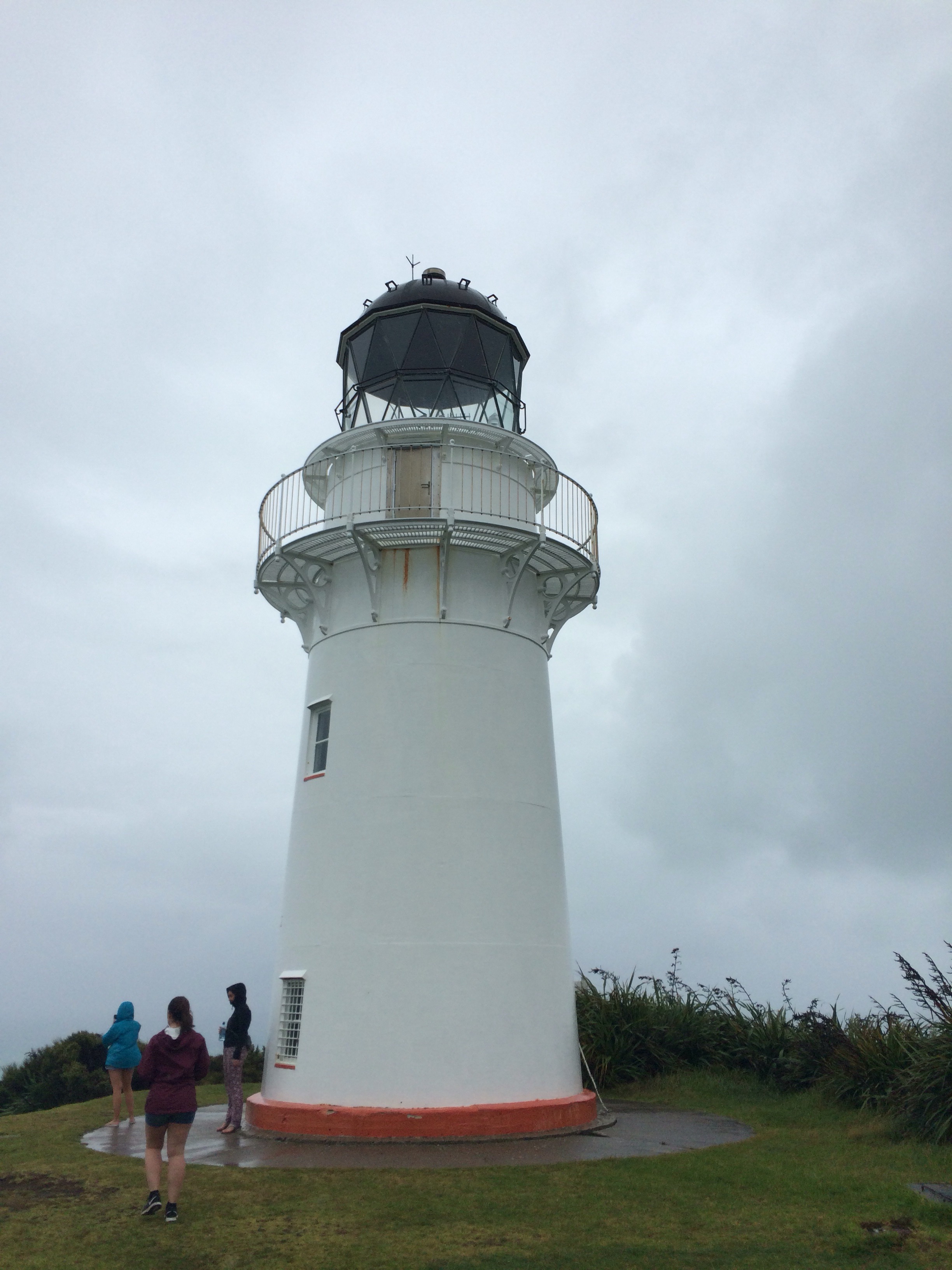
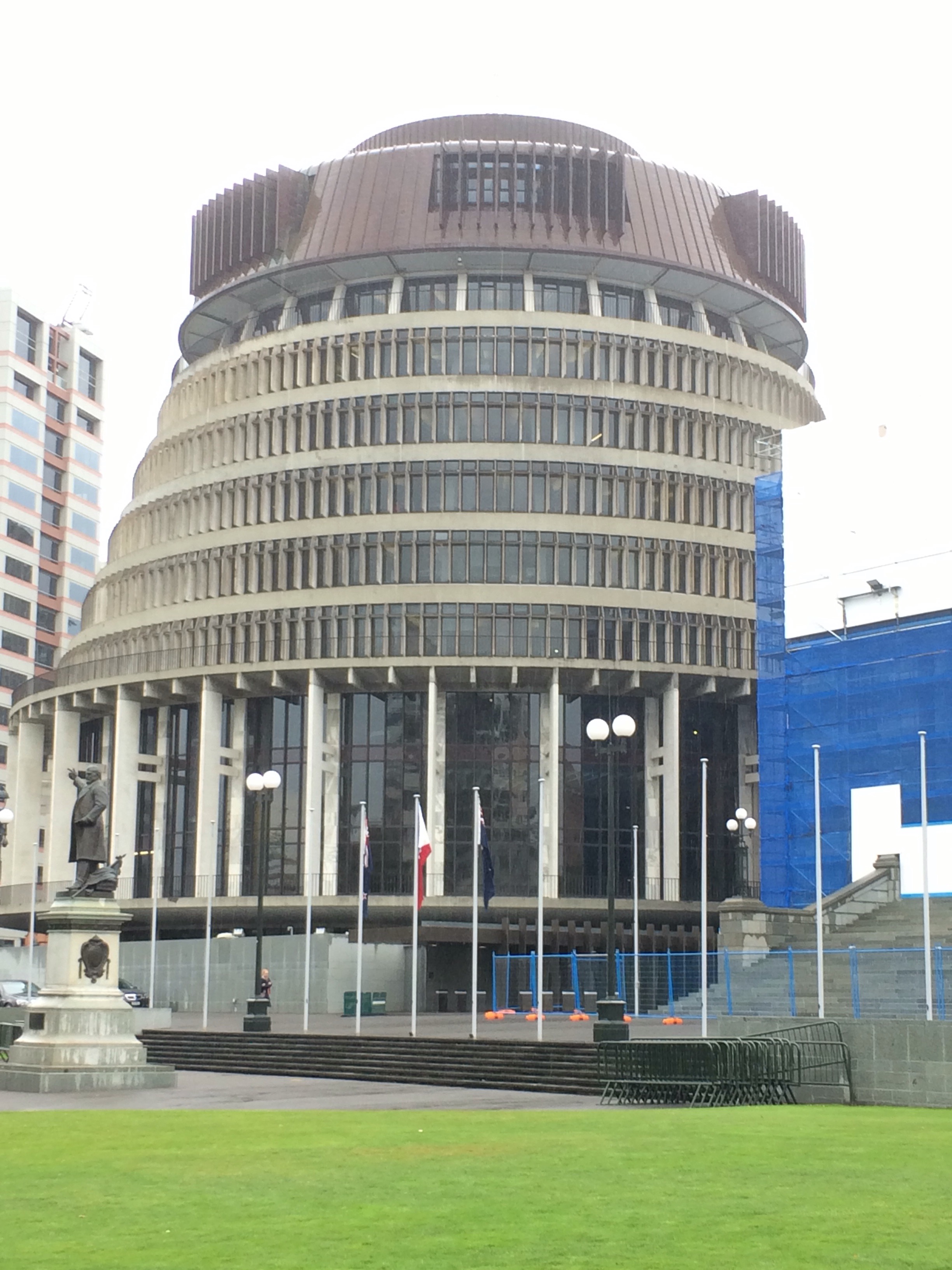
After 2 days of rain in National Park village (where I caught up on my previous blog posts), we headed south to Wellington (or Wellie-bobs as mum called it 😄). It was still raining when we arrived in Wellington. I went on a tour around the parliament building in the afternoon. The NZ parliament building is known as the Beehive:

  
It continued to rain after I’d finished the tour so then it was a quick dash to the supermarket and then an evening of reading and watching Dawson’s Creek on my iPad. The dialogue is as wordy as I remembered, Dawson’s hair is terrible, I would totally still wear Joey’s wardrobe, and the soundtrack is awesome.

The next day I visited the Te Papa national museum. It is a massive museum over 6 floors with lots of different exhibits including lots of stuff on plate tectonics (you’ll remember from an earlier blog post that I like all that kind of stuff), wildlife in NZ (lots of which is only found in NZ), and an interesting exhibit on Gallipoli. I spent a good chunk of the day there before heading to the Wellington Museum later in the afternoon.

After being a bit museumed out, I went for a long walk around the botanical gardens the following day. You can take a cable car from the city centre up to the botanical gardens, where you get a great view of the city.

    
After a nice walk around the gardens I headed back to the centre for a wander round, followed by a nice pint of cider. Although it should probably have been a Guinness as it was St Patrick’s Day.

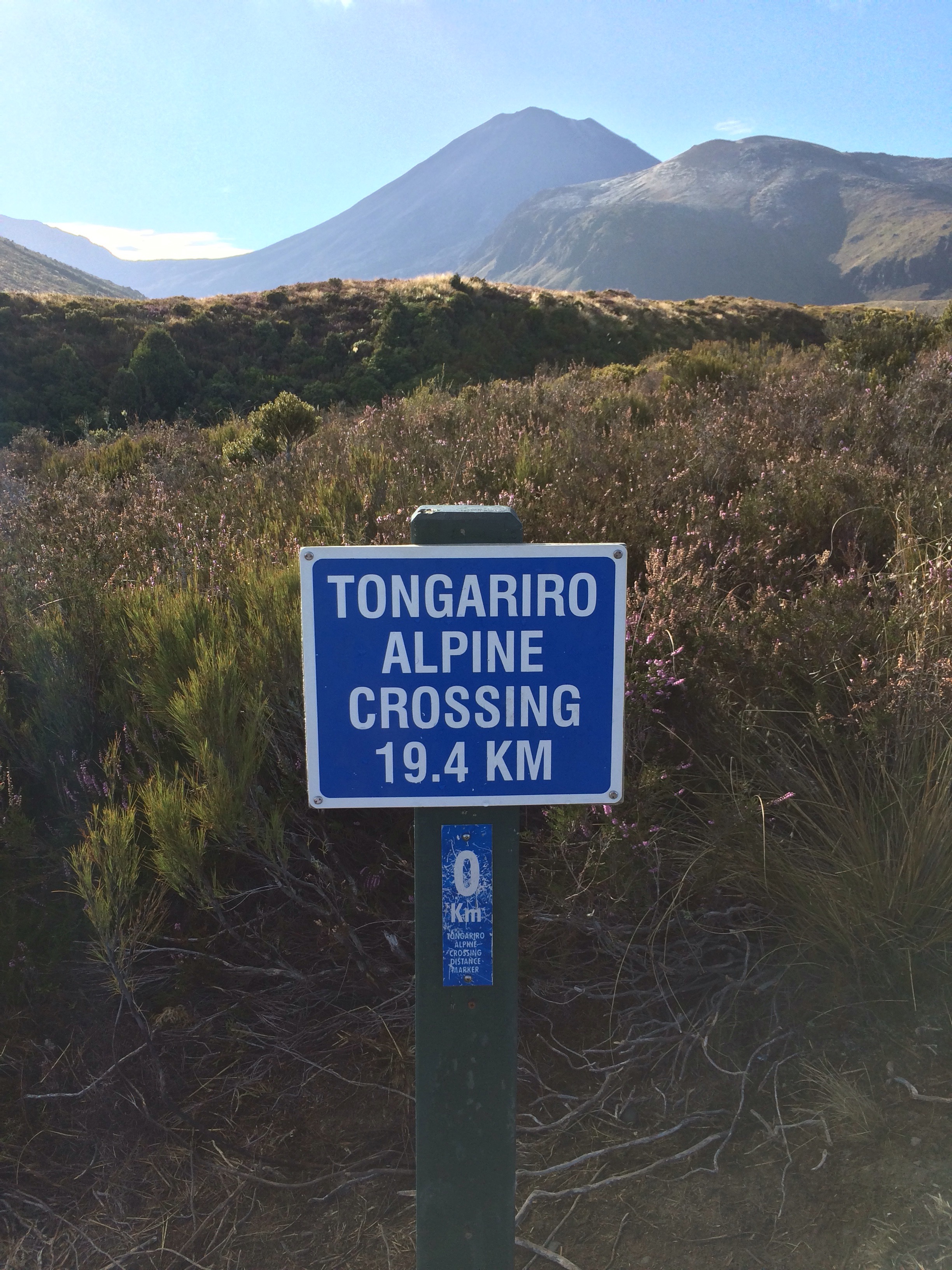
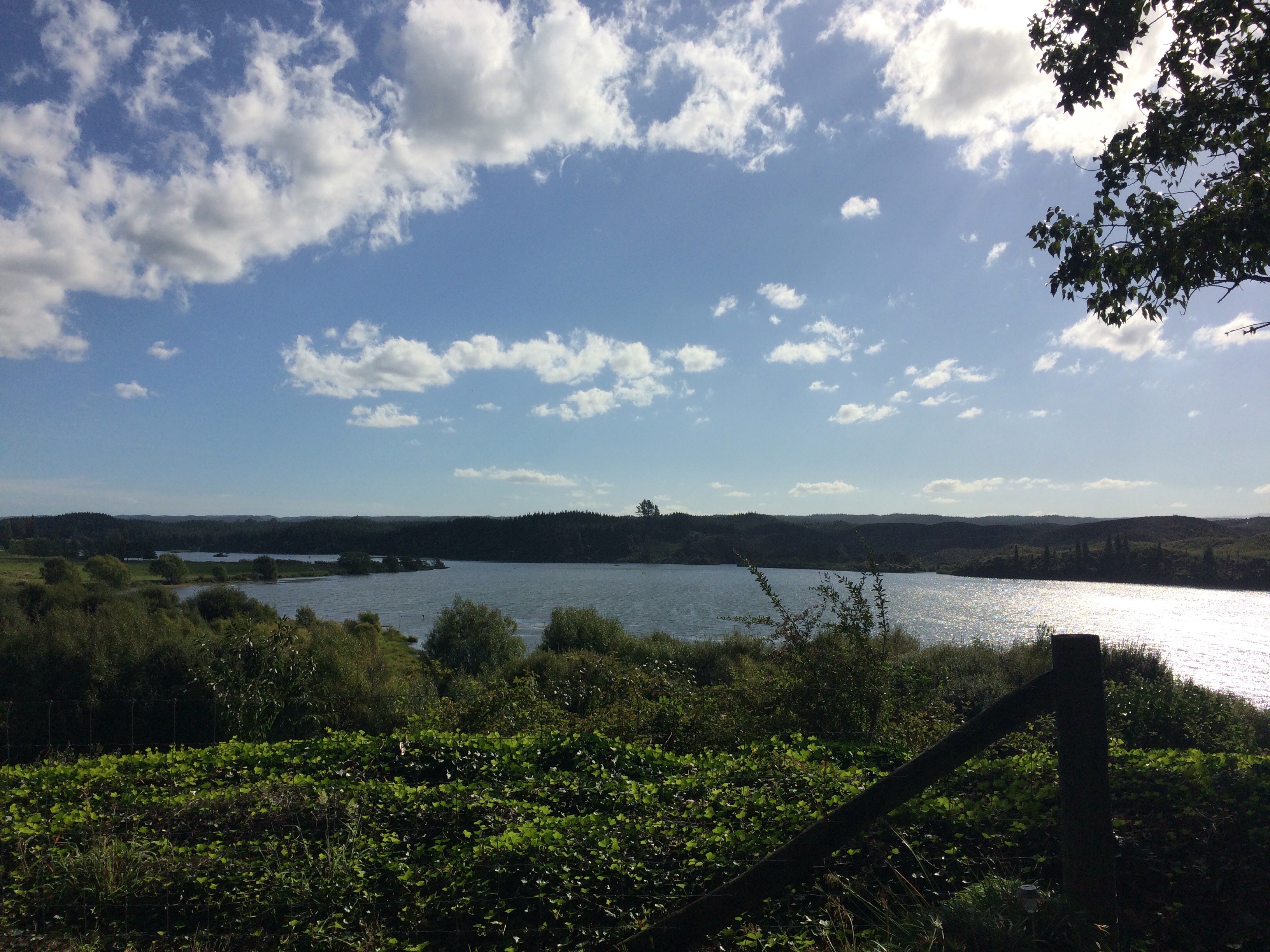
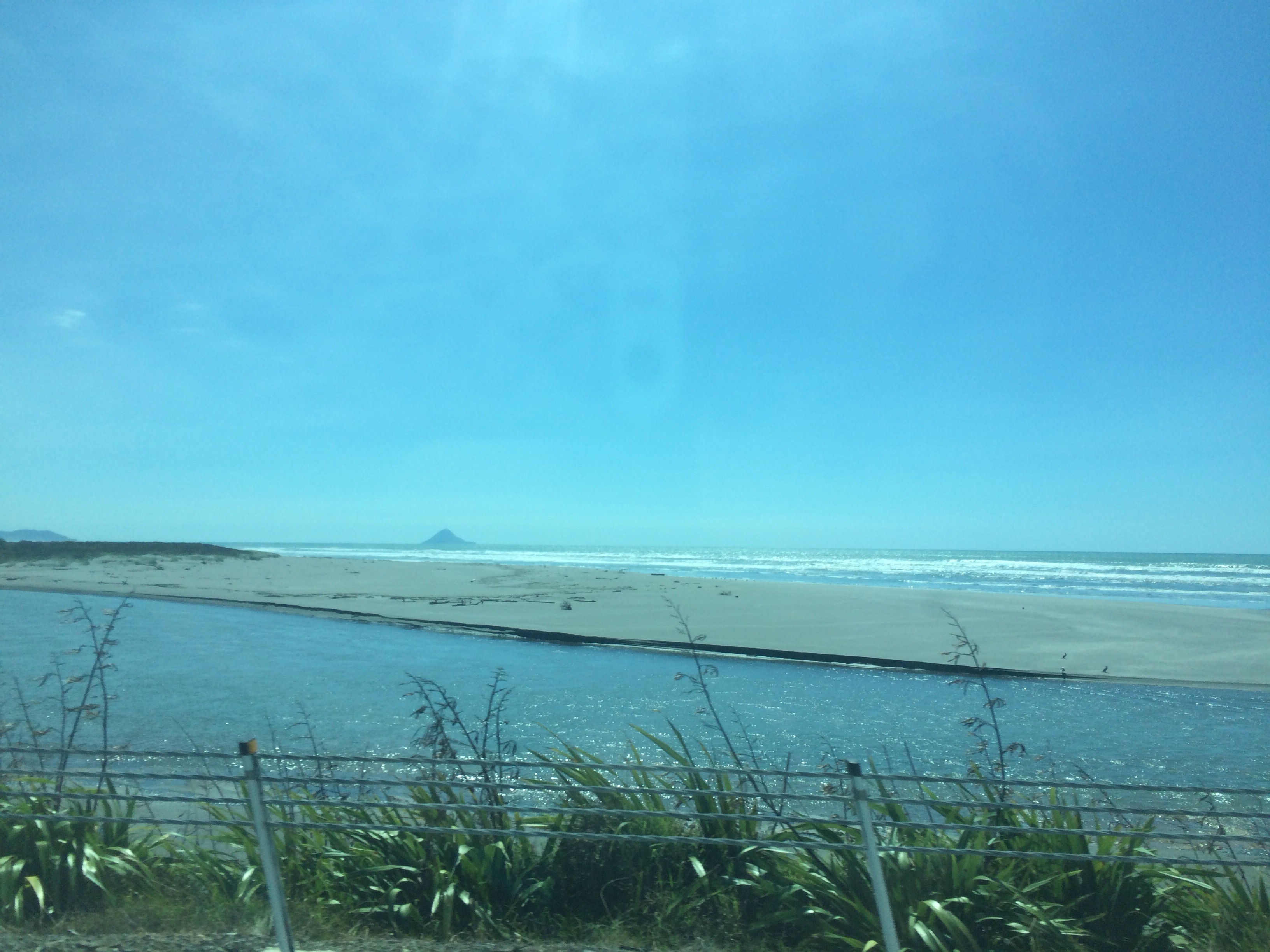
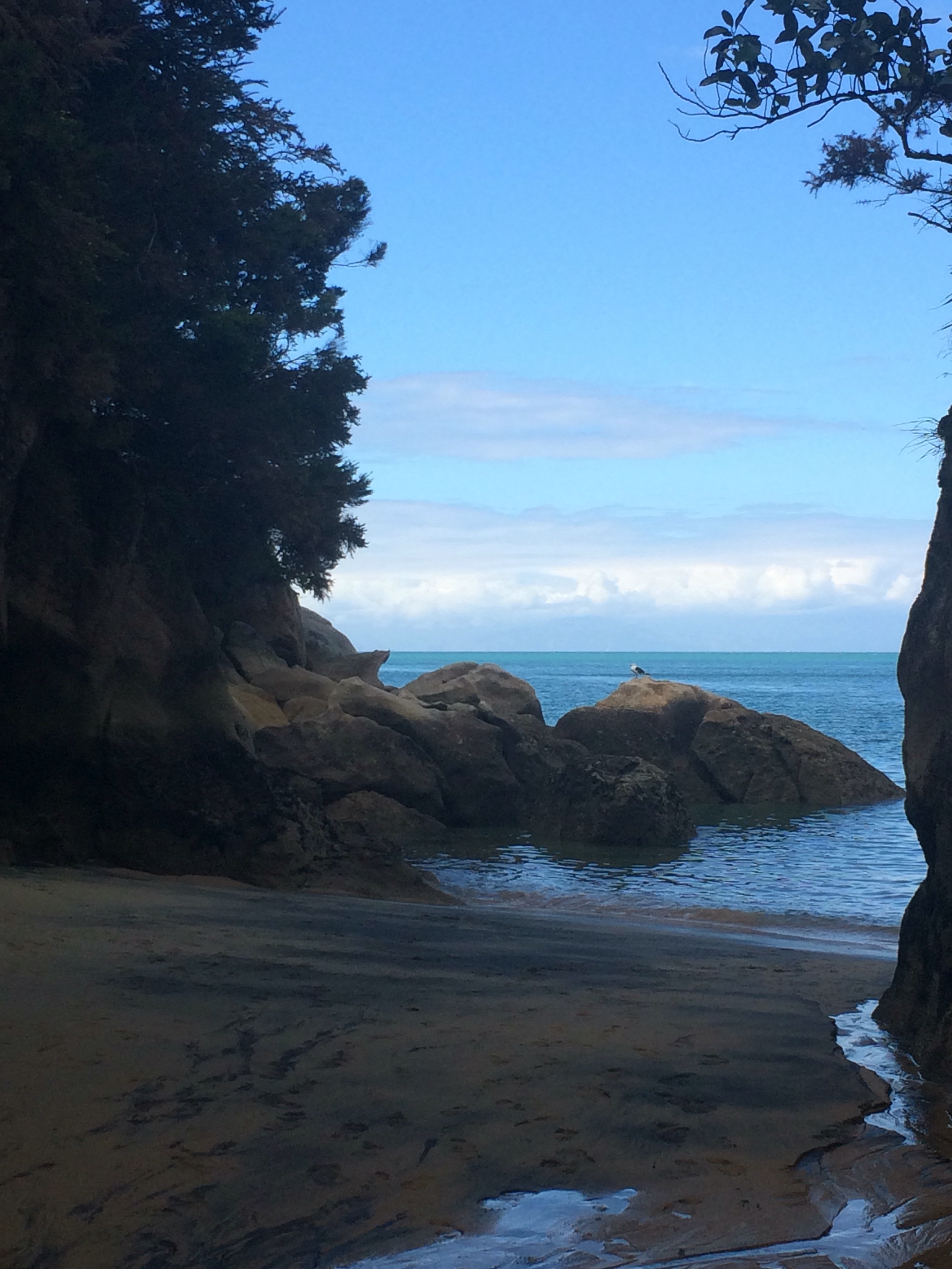
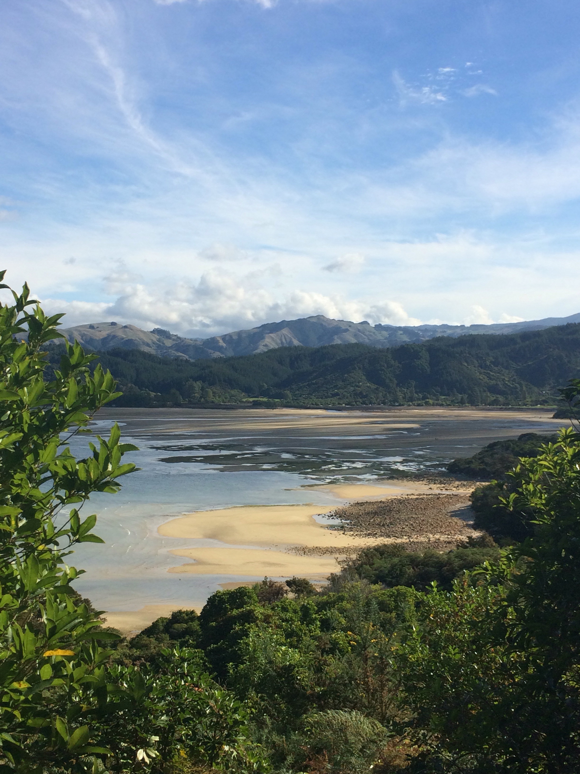
The following day was an early start to catch the ferry to the South Island. The Cook Strait (which separates the 2 main islands) is a narrow stretch of water, but the ferry journey is 3 and a half hours as the ferry has to negotiate its way through the Marlborough Sounds. We arrived in Picton at lunchtime and then drove through Nelson (doesn’t bear much resemblance to either the one in Lancashire or the one in south Wales) before heading to the next stop in Marahou. Marahou is on the edge of Abel Tasman National Park, and it’s not somewhere I’ve been on either of my previous 2 trips to NZ. 

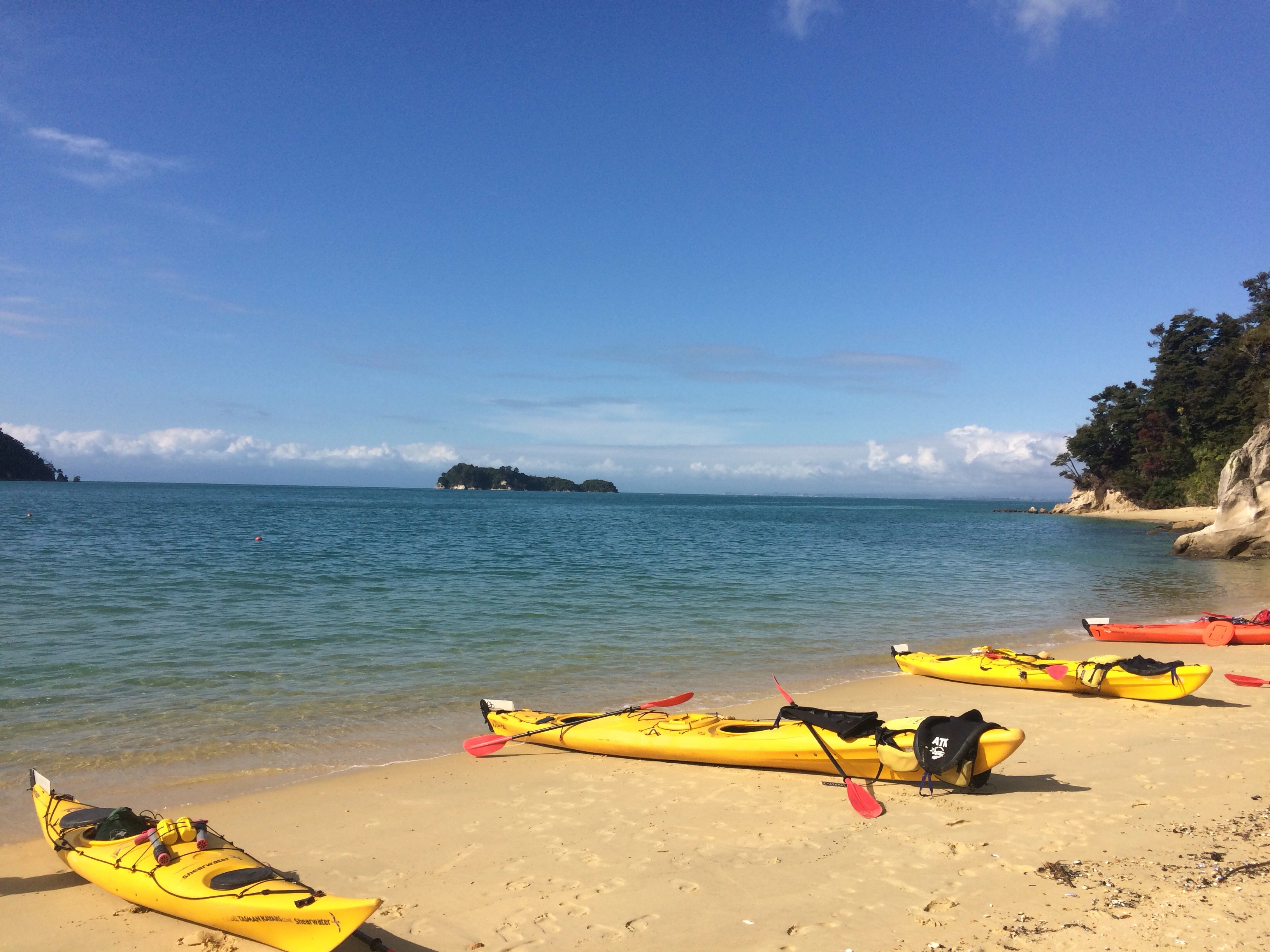
I stayed 3 nights (2 full days) in Marahou. On the first day I did a trip which involved about 3 hours of kayaking in the morning, out from Marahou to Watering Cove, and then a 4 hour (12km) hike back to Marahou on the Abel Tasman Coastal Path. It was absolutely stunning.


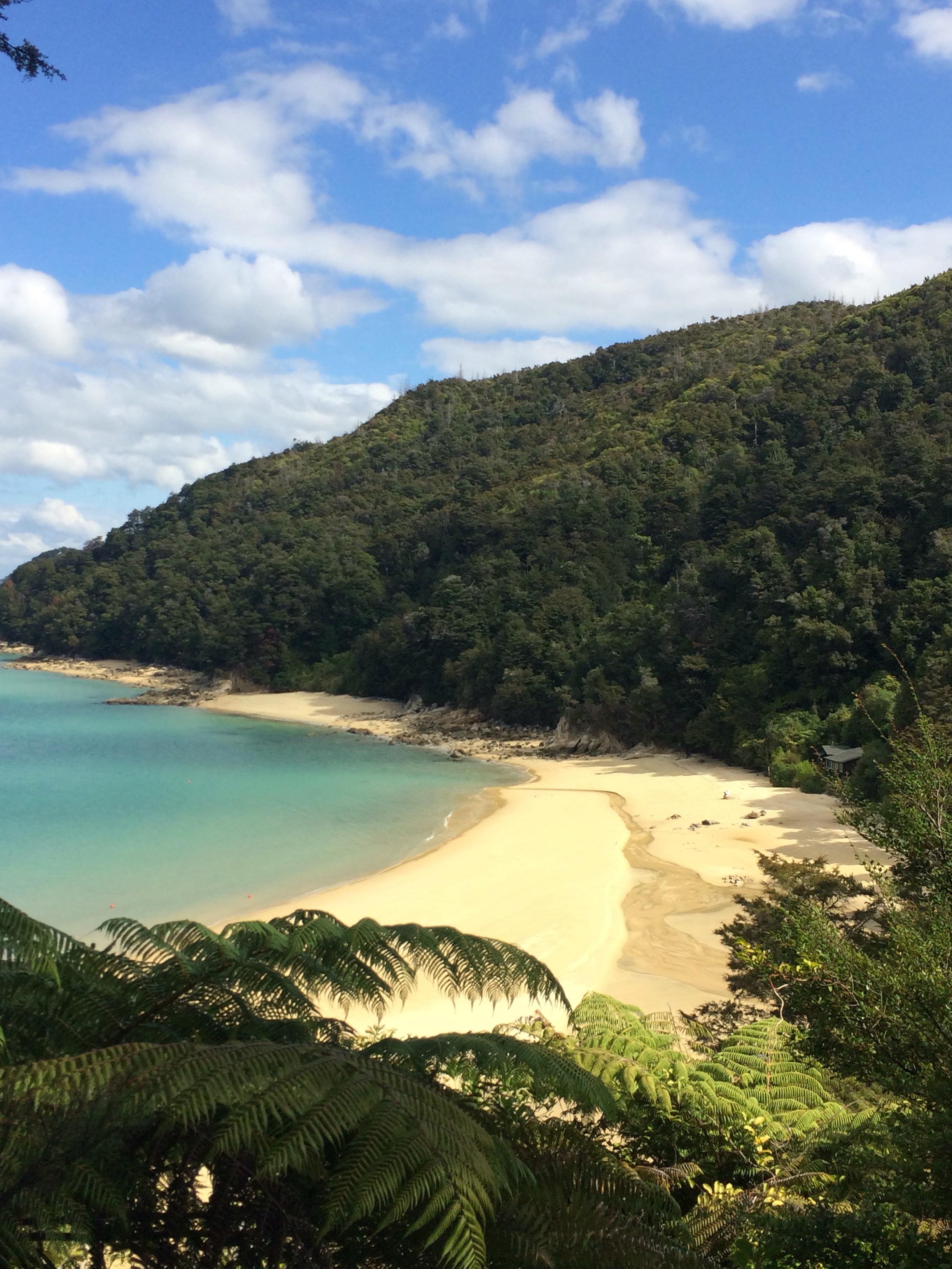
The following day I walked back along the coastal path for about 90 minutes and fell asleep on a beach for most of the afternoon.

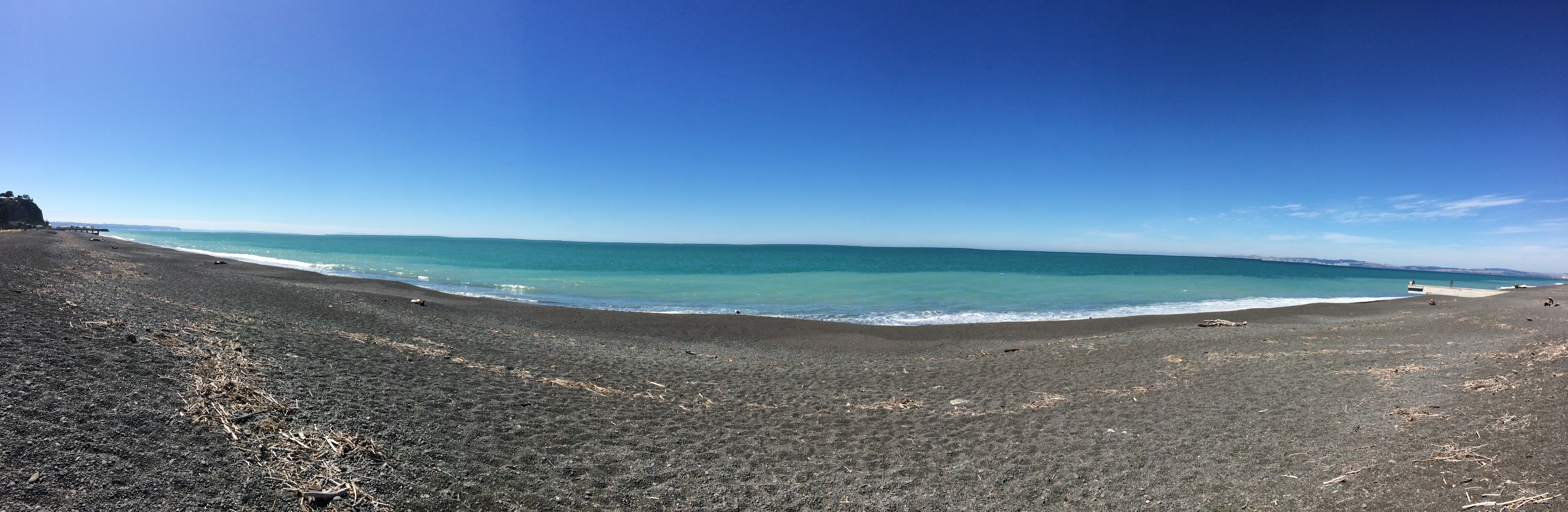
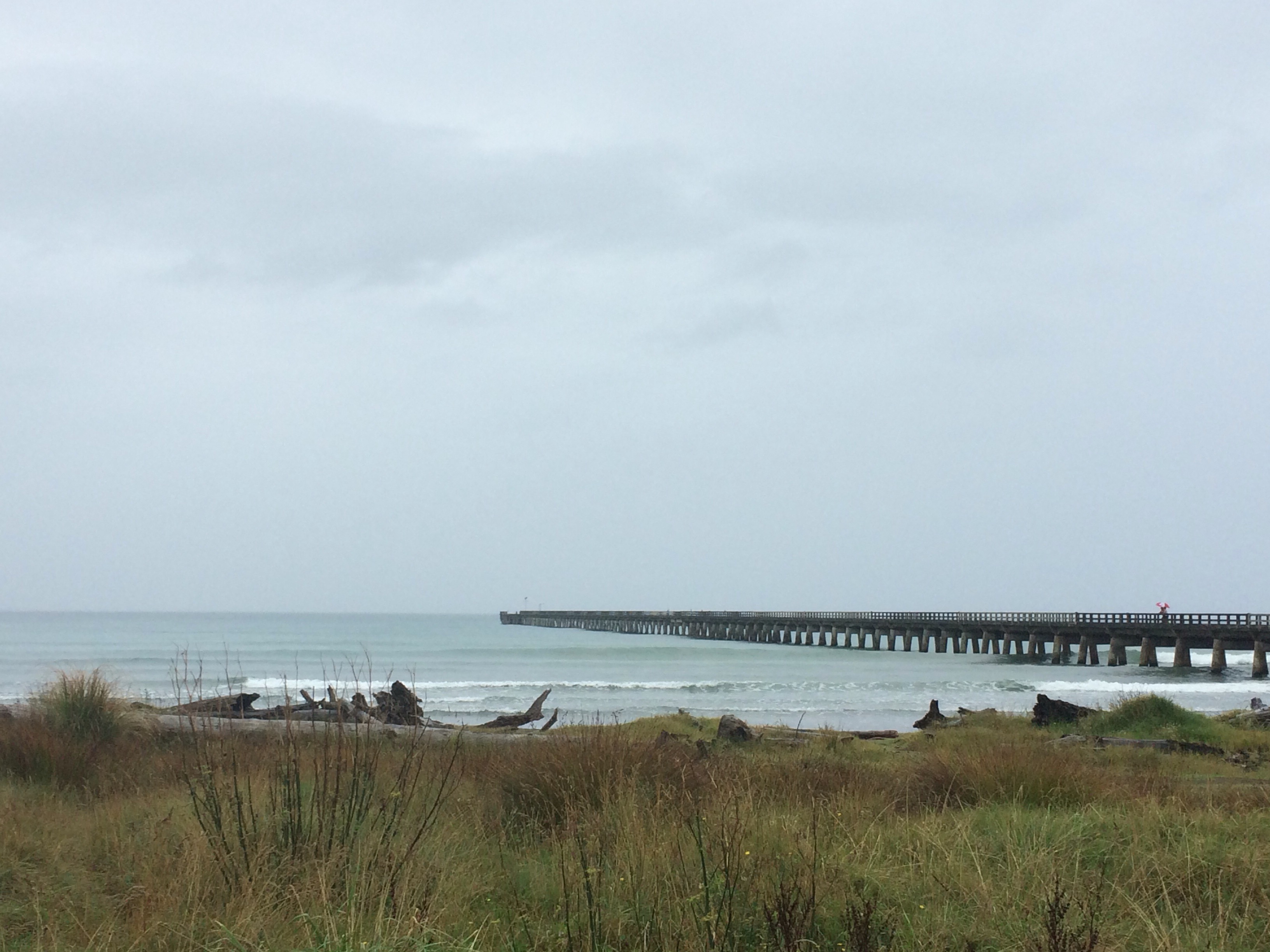
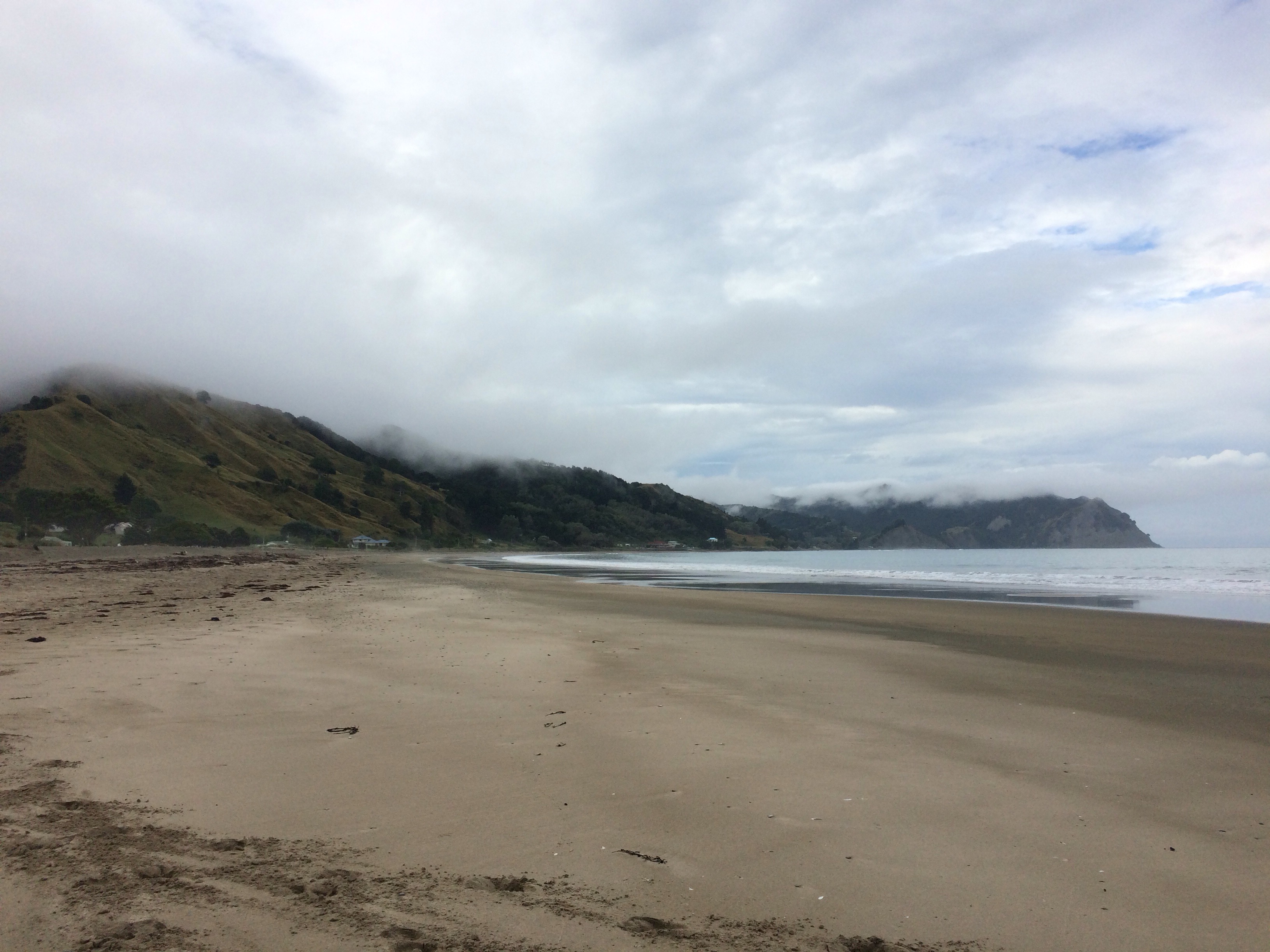
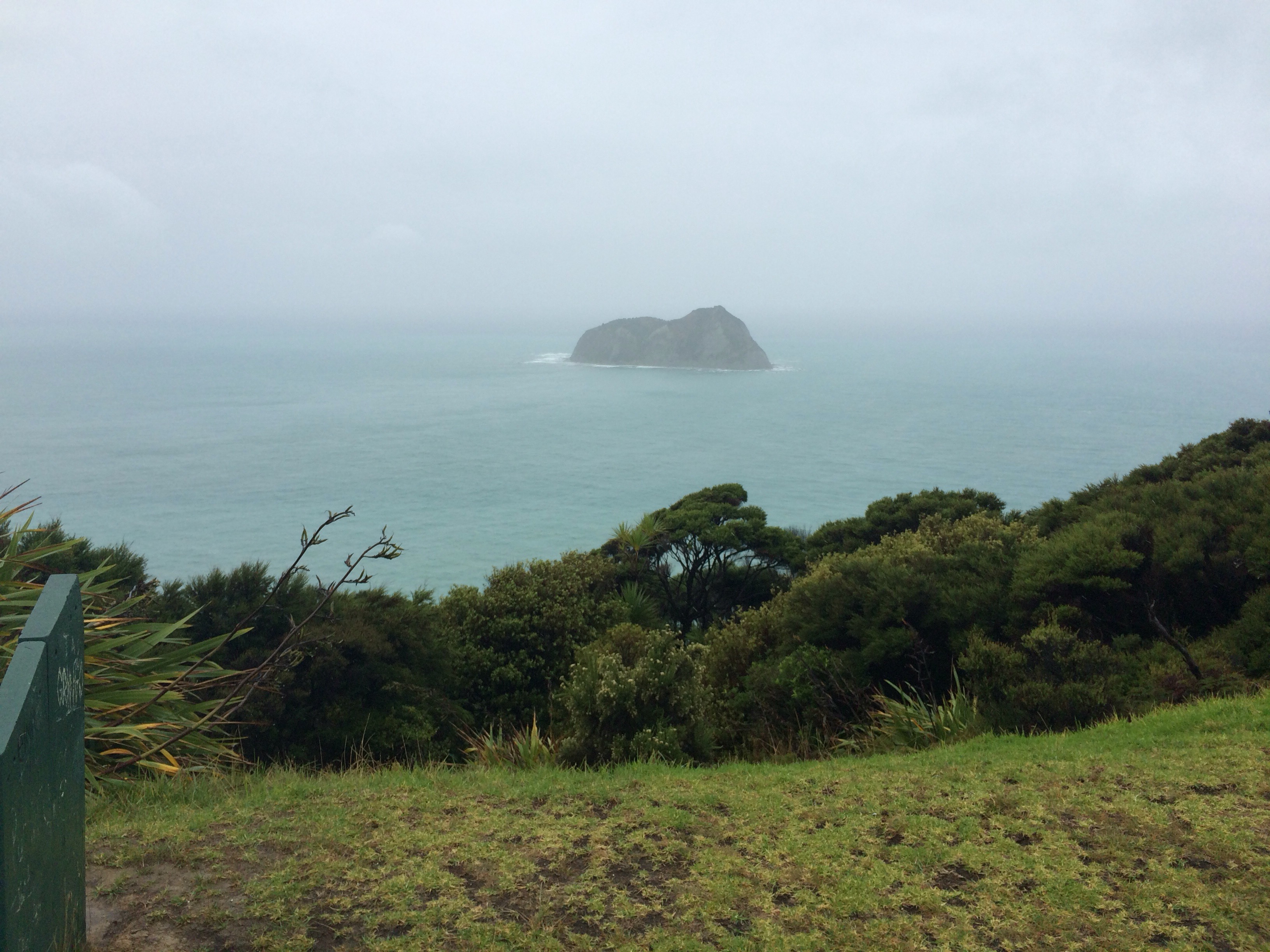
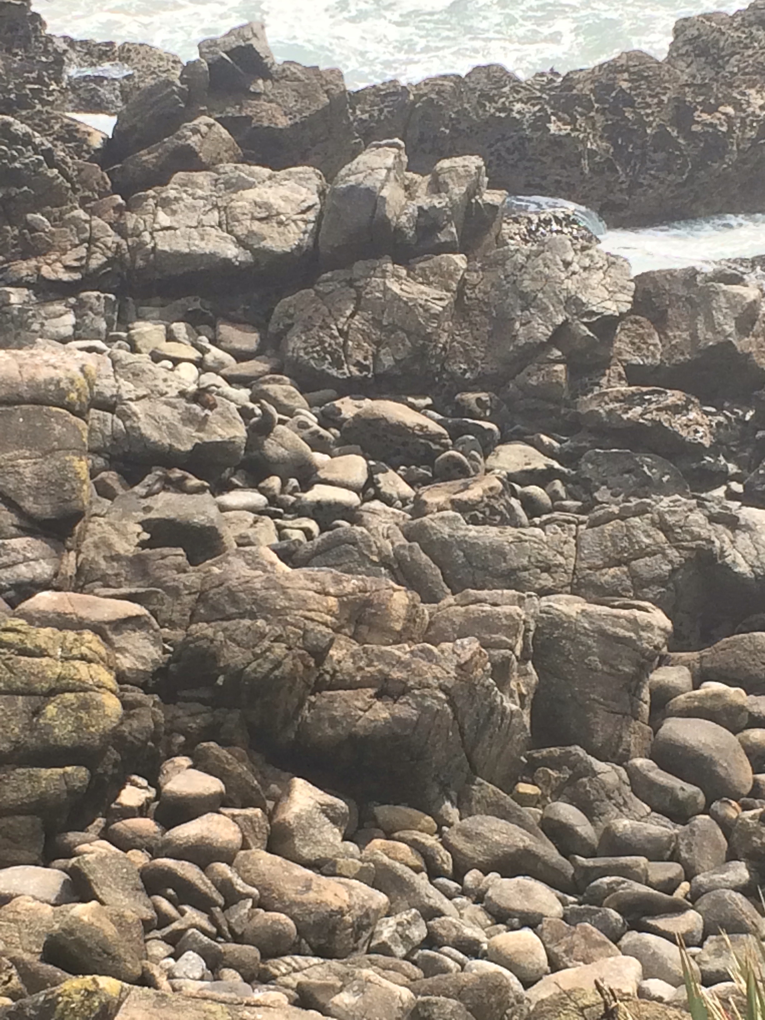
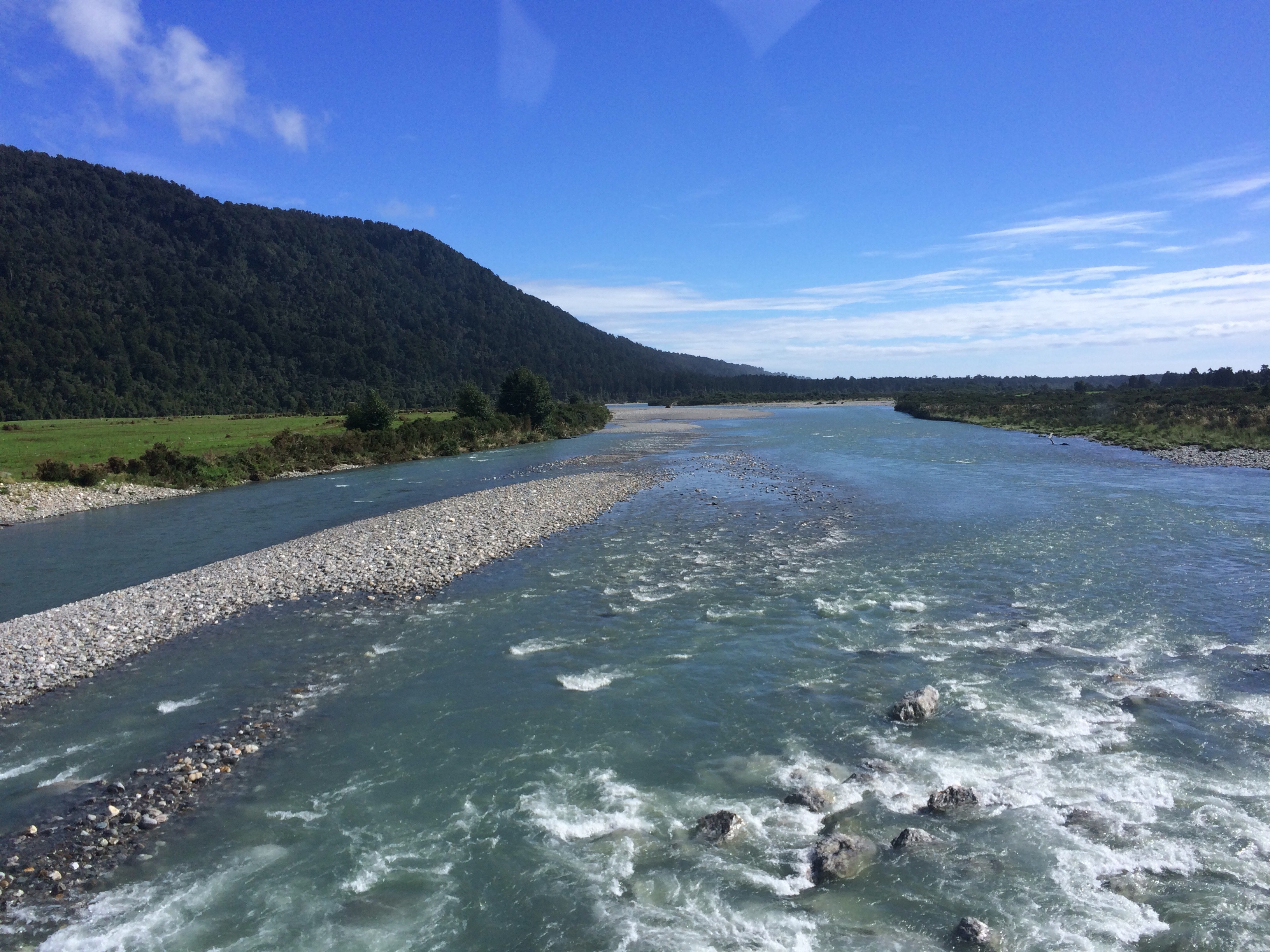
The next day we continued our journey down the West Coast to Westport. There’s not much to see in Westport itself, but nearby is Cape Foulwind where there is a sea colony (spot the seals!)

  
In the evening we had a scavenger hunt around Westport. It’s a town where you have to make your own entertainment.

We continued our journey down the west coast the next day. The first stop of the day was at the pancake rocks. Guess how they got their name:

  
After stopping in a rainy Greymouth for supplies, we headed to Franz Josef Glacier where we were staying for 2 nights. One of the best things I’ve done previously in NZ was take a helicopter flight to the glacier and then spent a few hours walking on the glacier. Having done this before, I couldn’t really justify doing it again, and it turned out to be just as well because for the 2 nights we were in Franz Josef it absolutely poured down. Part of the town was flooded when the river burst its banks, and the whole town was issued with a ‘boil water’ notice. It made the national news here.

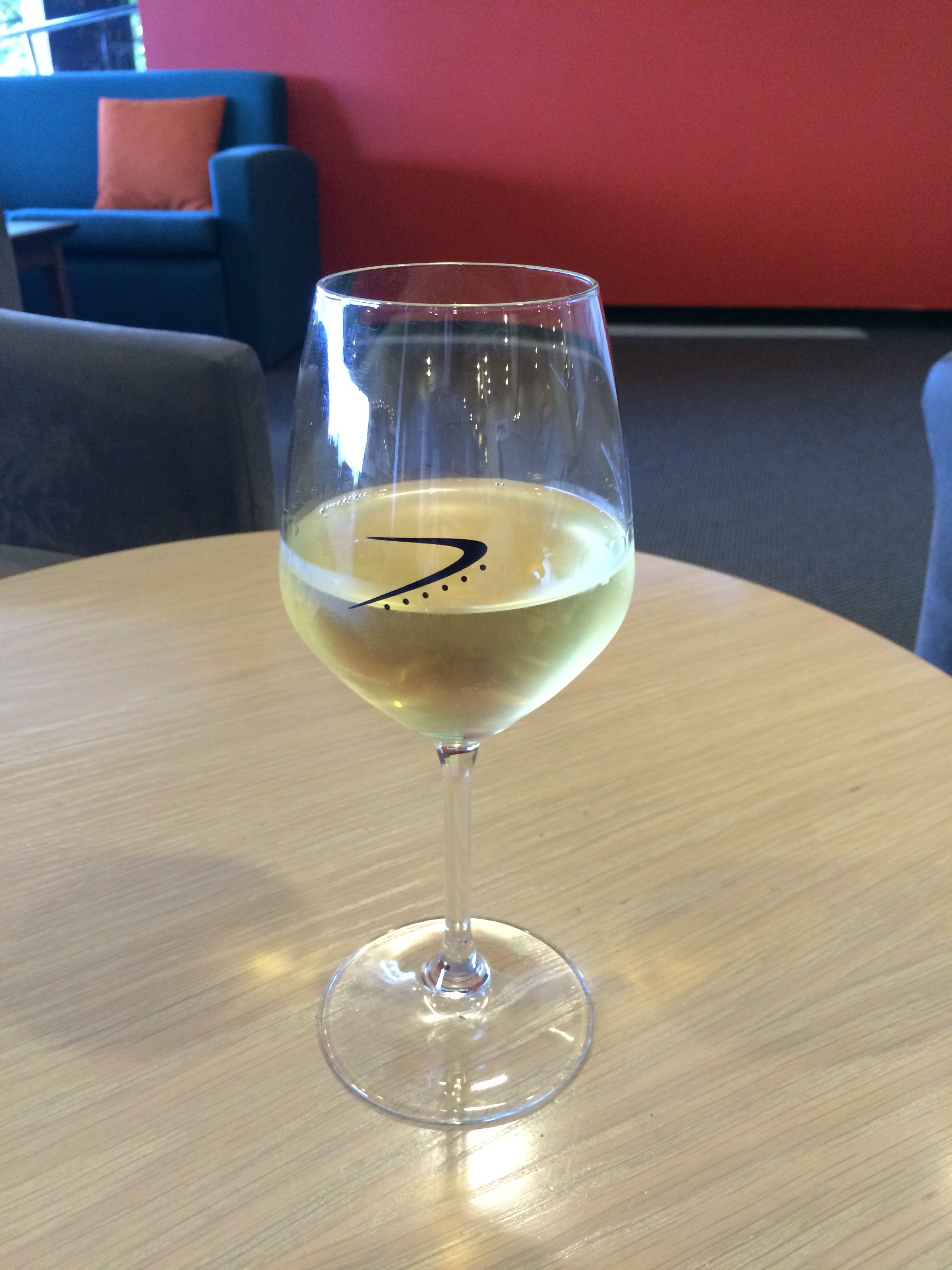
As the weather was fairly miserable, I had several glasses of wine on our first evening there whilst watching England produce another fine batting collapse against Afghanistan. The satellite signal couldn’t cope with the weather and gave up when we were 85-7.

After a slightly slow start the next day (and with the weather, there was no need to rush!), I went jade carving with one of the girls on the bus, and then we walked to a glacier viewpoint:

  
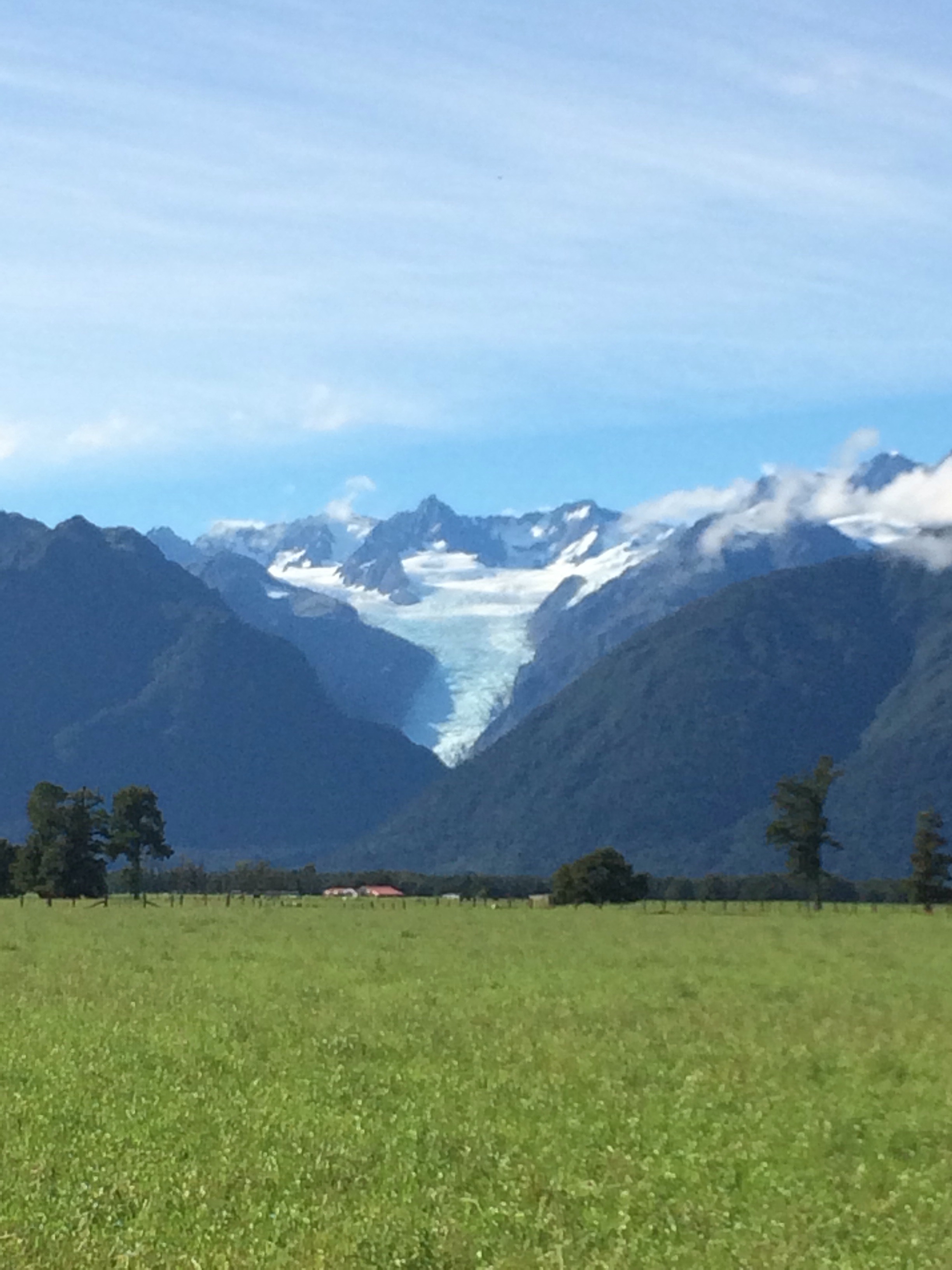
The glacier is somewhere in the clouds!

Typically, the day we left Franz Josef was a beautiful day. We stopped to look at Fox Glacier (seeing as we were unable to see Franz Josef Glacier):

  
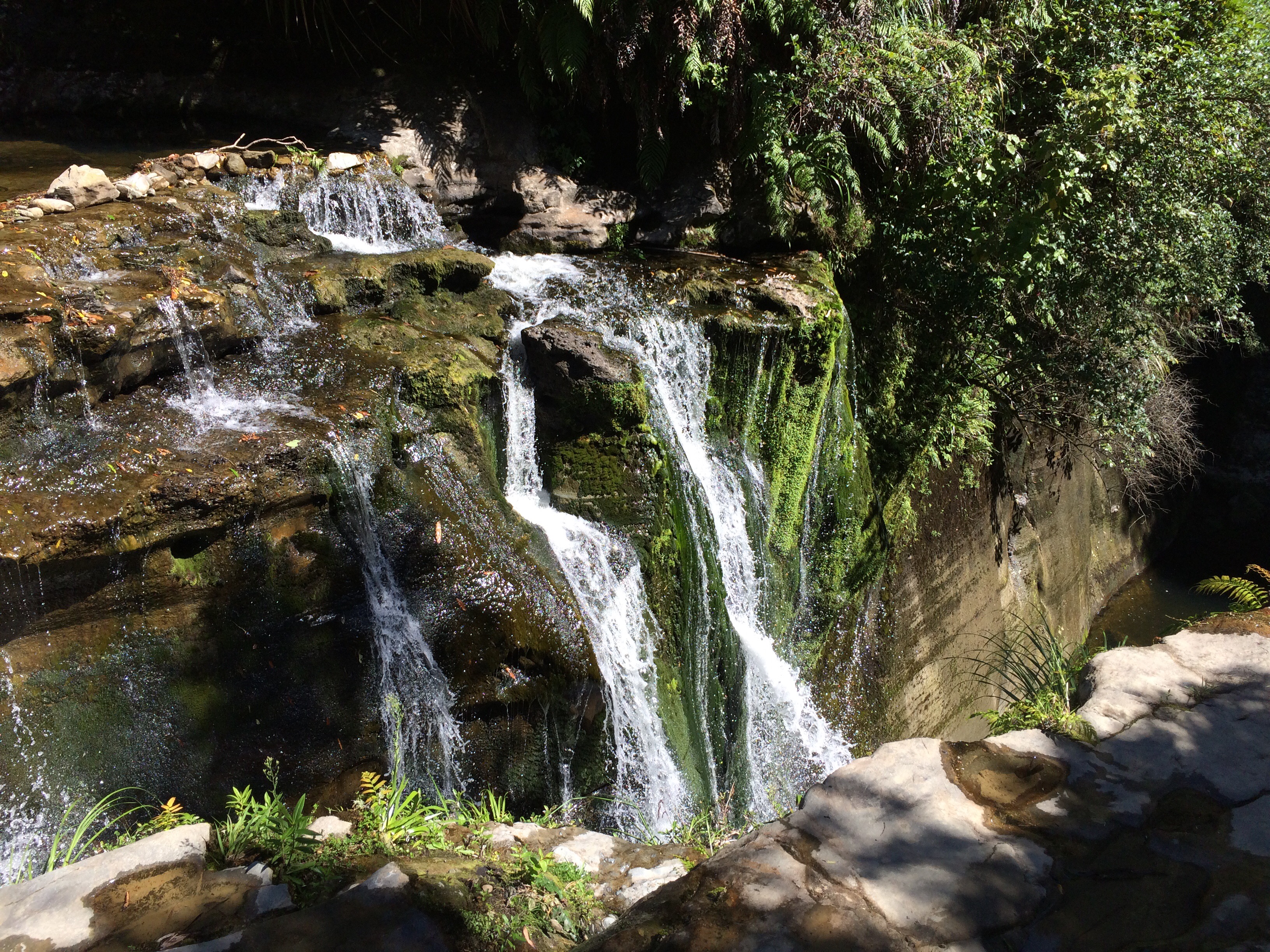
And we also had a short walk to Lake Matheson, which is a mirror lake:

  
Mount Cook and Mount Tasman are the 2 peaks on the right, though I forget which way round they are.

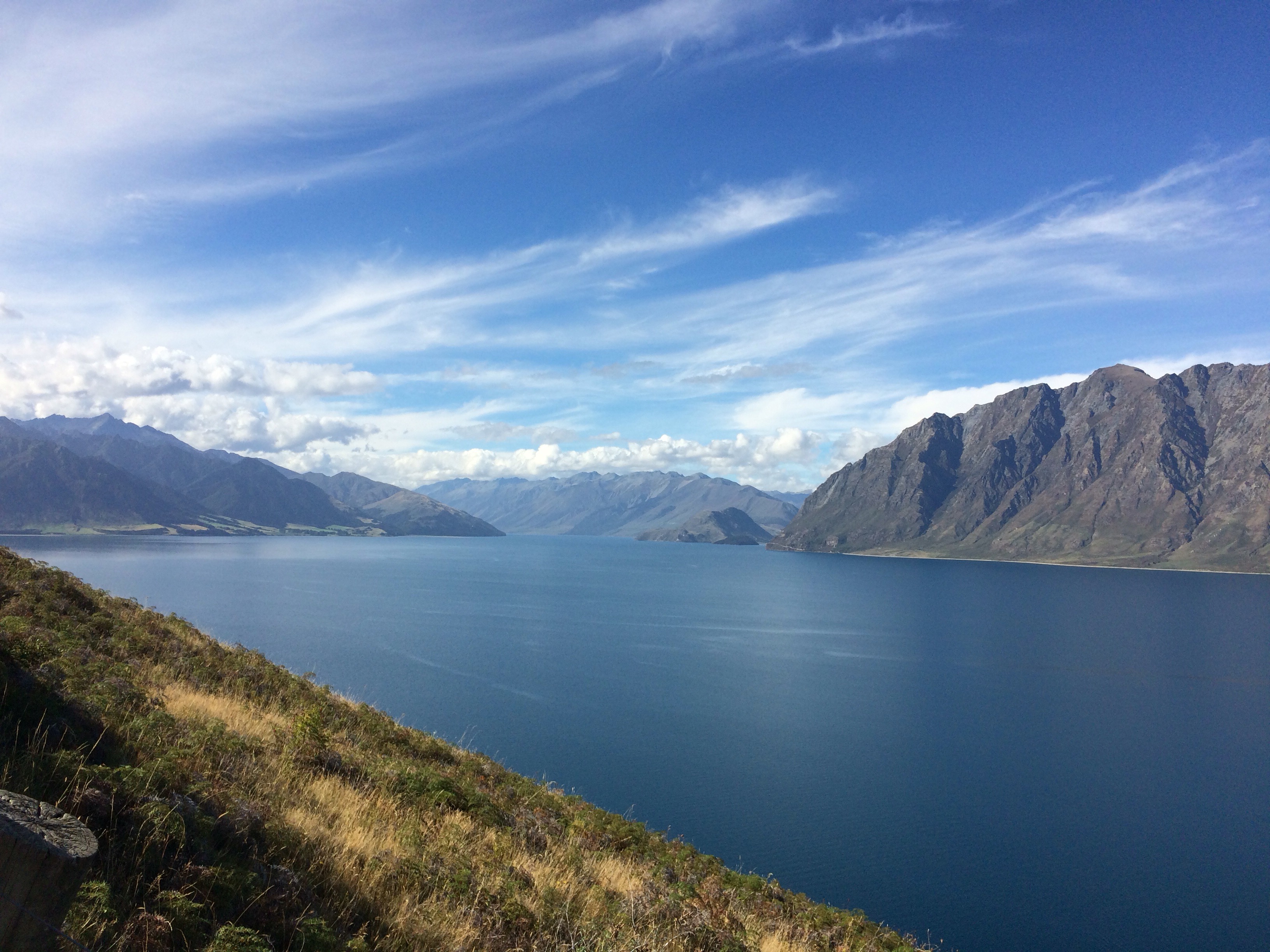
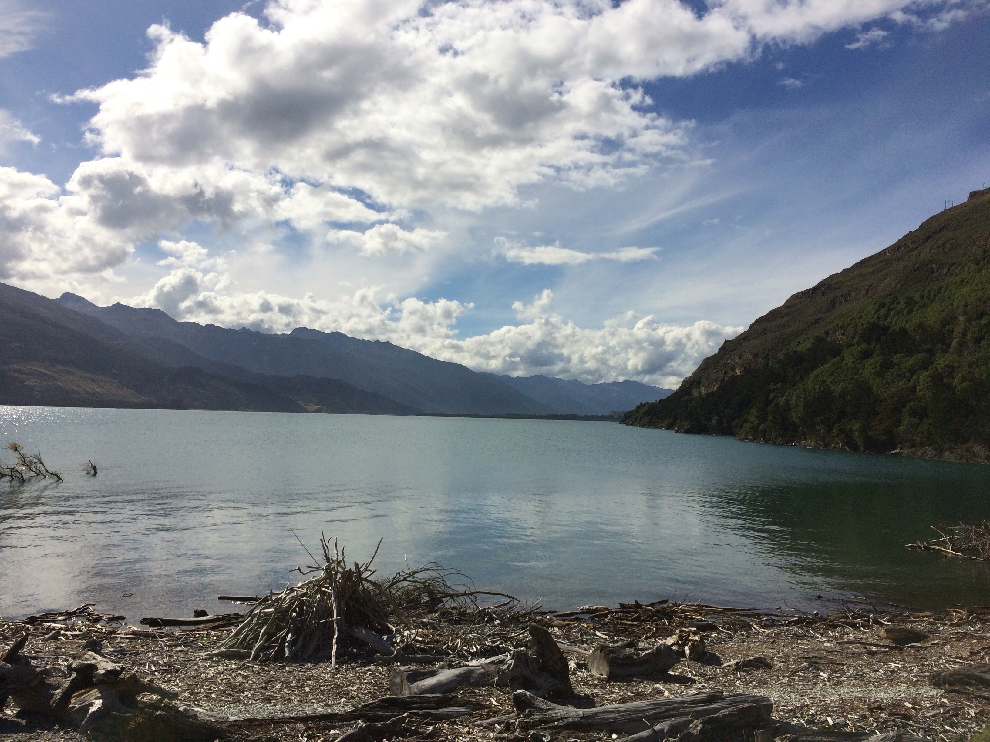
As we drove towards Wanaka, we passed lots more stunning scenery. I will never get tired of looking at these views.


As Wanaka is inland, I’ll talk about that on my next post. Hopefully I’ll get myself organised and post it in the next couple of days.

Tongariro Alpine Crossing

We awoke at some ungodly hour (5am) in Whakahoro so that we could drive to National Park to do the Tongariro Alpine Crossing, one of the best one-day walks in the world according to Lonely Planet. It would be hard to disagree with that statement.

We arrived in National Park Village at around 7.45am, and I hired myself some walking poles as I’d found them invaluable on the Inca Trail last November. After a warming cup of hot chocolate we set off for the start of the crossing at Mangatepopo car park. It was a beautifully clear day and we had 19.4km of hiking ahead of us.

  
The first hour or so of the hike was relatively flat, but we started to climb in the second hour. The track is well marked out, but the terrain wasn’t always easy to walk on. This is a live volcanic area and there is a lot of loose rock around.

After the first ascent we arrived at the south crater and had a rather glorious view of Mt Ngauruhoe (now-roo-ho-ey), probably better known these days as Mt Doom in the Lord of the Rings films.

 
The volcano has such a wonderful, conical shape. It’s really something to behold.

We then walked through the south crater:


There was the option, if you were particularly fit and a speedy walker, to climb Mt Ngauruhoe, but that was never an option for me in the timeframe that we had.

There was then another ascent to the Red Crater:


Then there was a final ascent to view the Emerald Lakes before what I can only describe as a terrifying descent down a narrow path with lots of very loose volcanic sand and rocks.


This next picture doesn’t really capture the magnitude or scariness of the descent. It makes it look like a gentle walk downhill, but I assure you it wasn’t!


We stopped at the Emerald Lakes for lunch. We’d been walking for about 3hrs and 45 minutes at this point.

After lunch we headed on to the Blue Lake


And after this, we continued the long descent to the finish point at Ketetahi car park. There were some glorious view of Lake Taupo in the distance (behind the hills) on the way down:

 
As well as a reminder that this is an active volcanic zone with steam coming out of the mountain:


In the end it took me 7 hours and 15 minutes including breaks. We were given 8 hours to complete it (that’s when the bus would pick us up from the finishing point). Big thanks to my walking buddy Tamsin for keeping me going despite numerous breaks.

After coming here with G Adventures in November 2014 and not being able to attempt the crossing due to the poor weather, I’m so glad I was able to complete it this time round. I highly recommend doing this if you are ever in New Zealand, but don’t take it lightly. This was a tough walk and if you don’t have some level of fitness, it will be a massive challenge.


A few days off the grid

After hopping back on the Stray bus, we headed about an hour out of Rotorua to Lake Aniwhenua. Definitely not on most tourists/backpackers hitlist. 

We stayed in a lodge on the edge of the lake run by a local Maori family who are trying to regenerate the area through tourism. The nearby town of Murupara was very prosperous due to the forestry industry around 30-40 years ago. One of the largest man made forests in the Southern Hemisphere, Kaingaroa Forest, is close by, and was the centre of the local industry. Unfortunately in the intervening years, there have been changes in the forestry industry which means that Murupara is now a very poor area with lots of poverty, which was evident as we drove through the town.

The family who run the lodge recognise that the local area has lots of features which would be ideal to attract tourists – lakes, rivers, forests, waterfalls and other awesome scenery and are trying to encourage the tourist industry to grow.

We had a stop at some stone carvings which pre-date the supposed arrival of the Maori in NZ by around 400 years. The Maori arrived in the 1400s and these carvings have been dated to around 1050:

  
We then went to see a waterfall near to the lake before heading to the lodge on the lake itself.


The lodge offered several activities including kayaking, cooking and eeling. I opted for some traditional Maori weaving and created this ‘unique’ bracelet:

  
I may have been drinking whilst doing it…

We had a traditional hangi feast for dinner. A hangi is when the food is cooked on hot stones underground. Huge joints of pork and whole chickens, along with kumara (sweet potato) cook in around 2 and a half hours. The food was delicious.

  
The evening saw yet another spectacular sunset. I’ve lost count of how many of these I’ve seen.

  
The next day we stopped by the local school in Murupara to drop off leftovers from our hangi. A lot of the kids here come to school without breakfast and may not eat when they get home so the food that is provided from the lodge is invaluable. There were about 100 5-9 year olds who we met. They did a (really cute) haka for us, and sang some songs, and then we got to join in with play time. Just like the kids I met at the school in Fiji, these kids have loads of energy and are so happy and smiley. It really gives you a warm feeling inside.

After we left the school, we headed for a brief stop in Taupo. On the way we stopped at the Huka Falls. There is a tremendous amount of water flowing through here as it exits Lake Taupo into the Waikato River.

  
We then headed towards Whakahoro, where we were spending 2 nights. Again, this is not on most backpackers’ itineraries. There is no phone coverage and expensive wifi, so I was cut off from the rest of the world for a day and a half. It was quite nice not to have any internet, and as we all sat around in the accommodation in the evening, it was noted that it was nice that we were talking to each other rather than being glued to our phones.

There were opportunities for horse riding, hunting and jet boating at Whakahoro, but I opted for the gentler option of a walk to a(nother) waterfall.

  
After another ridiculous sunset, it was relatively early to bed before the 5am alarm call before tackling the Tongariro Alpine Crossing.

Napier, and Rotorua (again)

I’ve been a bit lax in updating this lately, and I haven’t been keeping notes, so this is going to be like an ‘artist’s impression’ (ie kinda like reality but maybe not exactly right) of what I did in Napier and Rotorua.

After I arrived back in Rotorua from the eastern cape, I had a fun-filled laundry afternoon. The cheapest laundry so far though, only $3 for a wash and $3 for the dryer instead of $4 for each which it has been everywhere else I’ve done laundry. Having a bag full of clean clothes (and most importantly, a clean, dry, and smell-free towel) is very satisfying.

The next day I caught an Intercity bus to Napier. Intercity is the equivalent of National Express in the UK. The bus went via Taupo and took about 4 hours. I arrived in Napier late afternoon and checked into my hostel, and then headed to the supermarket for supplies. I didn’t get up to much for the rest of the day, went to see some fountains lit up in the evening, and then went for a drink with a couple of girls in my dorm.

  
The next day I spent the morning on a self guided walking tour of Napier. Napier was pretty much destroyed by an earthquake in 1931, and was rebuilt largely in the Art Deco style of the time, much of which remains today. 


In the afternoon I walked along the waterfront to the aquarium. It was a glorious day and the view along the seashore was spectacular:


There was yet another pretty sunset in the evening which I enjoyed from the balcony of the hostel:

  
The next day I ventured to nearby Hastings. The local bus took roughly an hour to get there. Hastings was similarly impacted by the 1931 earthquake and also retains a lot of Art Deco architecture:

  
There wasn’t a massive amount to see in Hastings. I definitely preferred Napier, so I headed back mid afternoon. Napier does the ‘cafe culture’ very well, so I spent a while enjoying a milkshake and cake whilst making use of the free wifi. #1 in the list of things you get good at whilst travelling is hunting down free wifi.

The next day I went to the museum before catching the bus back to Rotorua in the afternoon.

As a birthday treat, I had booked myself into an actual hotel for 2 nights. My own room! A double bed! Fluffy towels! A bath! Heaven.

I switched on a TV for the first time in over 2 months. Guess what? There was nothing on. Despite my extensive telly-watching habits at home, it turns out that I’m not really missing TV. (Full disclosure – I have been watching clips of things on YouTube when wifi permits. Favourite one so far whilst I’ve been away is John Oliver’s piece on Donald Trump/Drumpf. Do watch it if you haven’t already. It’s ace.)

The next day, for birthday treat number 2, I went to the Polynesian Spa for a mud massage and to enjoy the hot pools. Rotorua is renowned for its geothermal activity, and as a result has some very nice hot pools:

  
I had a very relaxing afternoon at the spa, and rounded the afternoon off with a glass of vino courtesy of mum and dad who had put some NZ currency in the birthday card I’ve been carrying around since the end of December. Cheers!

  
After my birthday I had a couple more days to spare in Rotorua. Having already spent several days here over the last 2 weeks, there wasn’t much else for me to see. I went on a walk around the southern part of the lake called Sulphur Bay, where the geothermal activity is evident to both sight and smell, and had another trip to the cinema.

After a few days of downtime I was ready to move on, and say bye to Roto-Vegas.


East Bro

For the last few days I’ve been travelling around the eastern part of the north island – lesser travelled by the backpacker, and as a result, much quieter and more chilled out.

The first day was from Rotorua to Gisborne. When we headed towards Whakatane (pronounced faka-tar-ney, ‘wh’ is ‘f’ in Maori), I got a little worried. Consult your map – Whakatane is in the opposite direction! It soon transpired though that in order to be on the main road to Gisborne, you do in fact need to go this way.

I have been to Whakatane before. In the dim and distant past on my first trip to New Zealand, I stayed for a few days in Whakatane with friends of my grandparents (hello Grandma *waves* – I know you’re reading this). This time we didn’t stay long in Whakatane, just long enough to stock up at the supermarket. We then headed along the coast to Opotiki before heading south towards Gisborne. Some beautiful coastline on the northern coast:

  
I stayed in Gisborne for 3 nights – essentially 2 days as it was the evening by the time we arrived. This area is famous for being where Captain Cook first sighted land and came ashore. His crew promptly shot and killed several Maori who were performing their traditional welcome – killing the indigenous population seems to be something of a calling card… This memorial marks the area where Cook came ashore:

  
Gisborne is quite a cute little town with some great beaches and lots of wine. Thought it would be rude not to give both of these a go:


Bit of a palaver trying to catch the bus out of Gisborne. In New Zealand I’m largely travelling on a ‘hop on – hop off’ backpacker bus. You can either do the circuit just spending 1 night in each place, or you can ‘hop off’ and spend a few days in each place. I’ve booked everything in to hop off and then hop back on the bus so that I know I can get back to Auckland in time for my flight out in May, and so I was booked back on a bus out of Gisborne on Monday morning. I had 2 different pick up times given to me – 10.30am and 11am – only slightly confusing. When the bus hadn’t appeared at 11.15am I was a little worried. After ringing the office I was told they would be along just after 12 – basically if I hadn’t have rung I’d have been left behind 😳

Once I got picked up we headed north up the coast from Gisborne, and stopped at Tolaga Bay. Despite having glorious weather in Gisborne, the rain arrived in force today and stayed with us for the rest of the trip around the east. 

Tolaga Bay has a very long wharf, which we walked along in the rain.

  
After this we headed to the overnight stop at Tokomaru Bay, another gorgeous bay, even in the rain.

  
The following day we carried on our journey round the coast, stopping off at a church which had a nice mixture of Maori and Christian themes

  
We then headed to East Cape and to the most easterly lighthouse in New Zealand. After climbing 785 steps up to it, this was the view:


We stopped in a cute bay for lunch before heading to Maraehako Bay for the night. The hostel was really quirky, nestled into the bay:

  
Some of the interior was a little dated, but the bed was the comfiest one yet.

This morning after the obligatory group photo we headed back to Rotorua, where the weather has cheered up. I’d forgotten about the smell though…

  
Tomorrow I’m off to Napier for a couple of days before coming back to Rotorua once again.