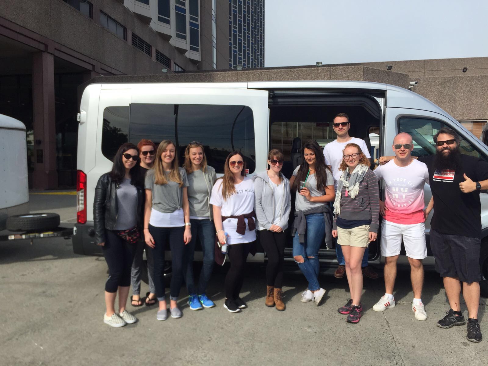
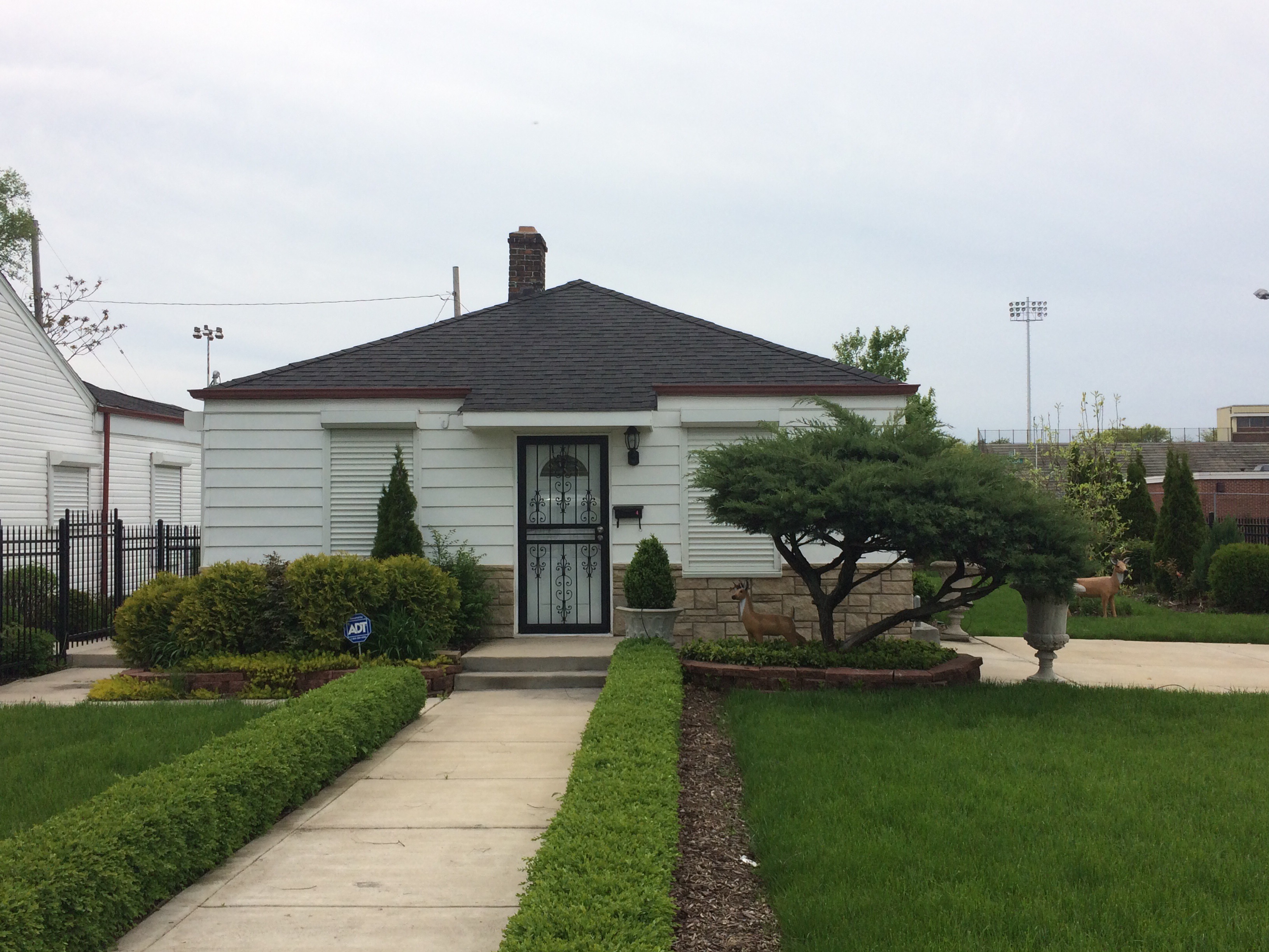
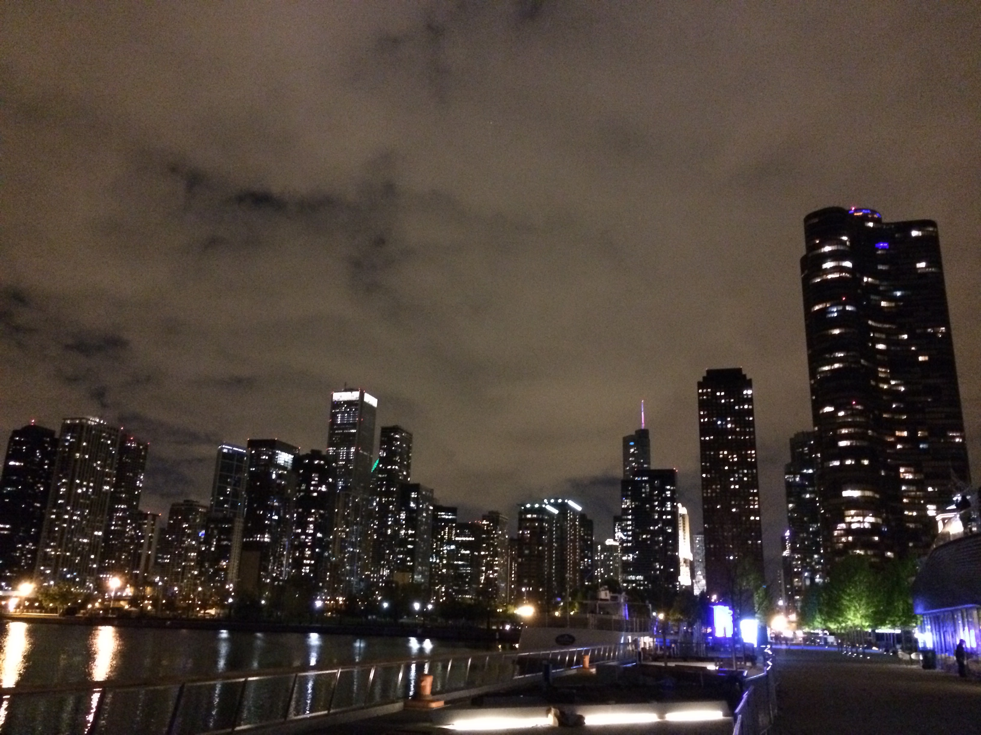
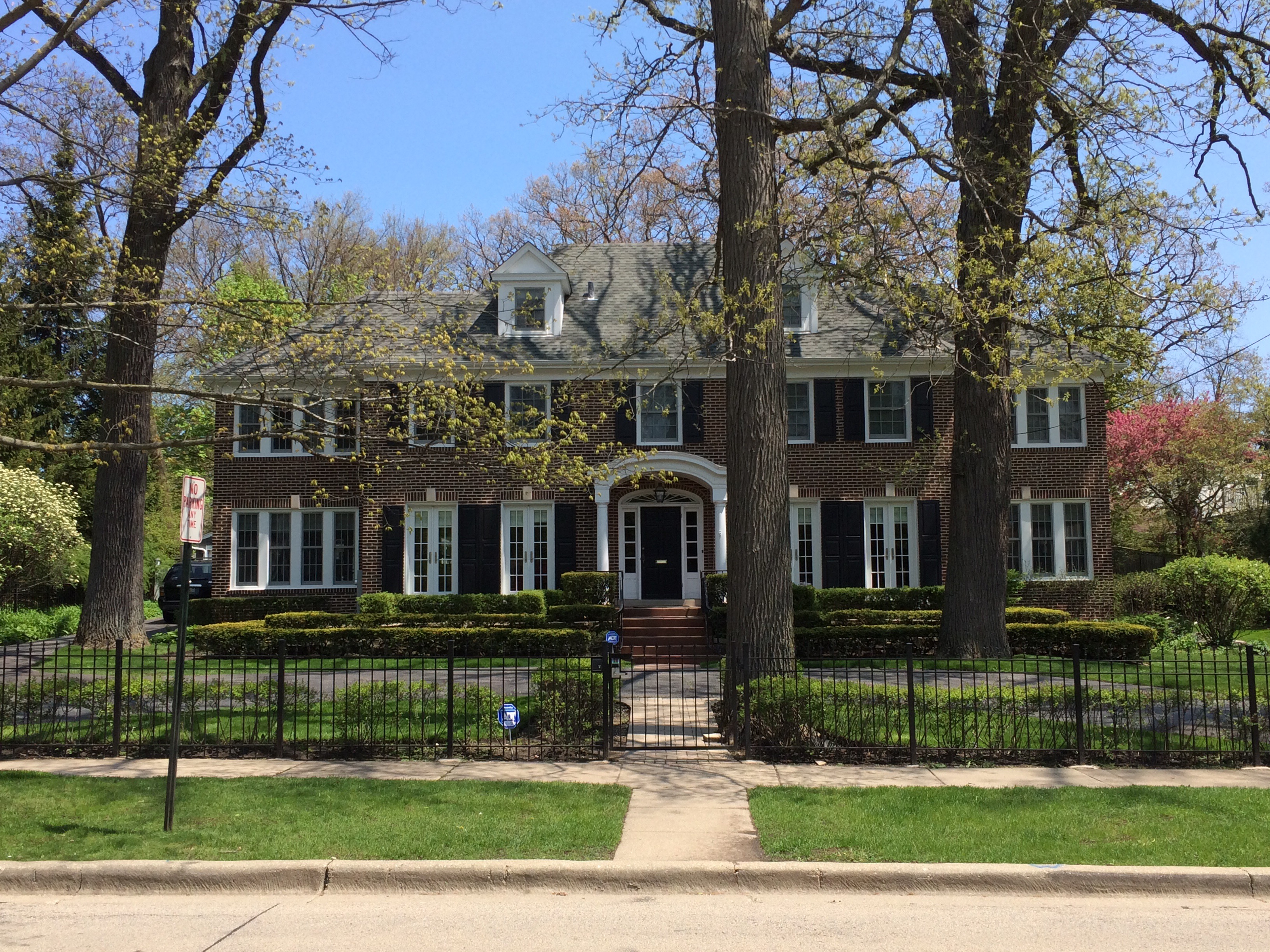
On the way out of Chicago we stopped off at the Home Alone house. A lovely big house in a nice suburb.
We then drove for about 6 hours to Albert Lea, Minnesota. It’s fair to say there isn’t a lot in Albert Lea. We went for dinner and then had a dip in the hotel pool which wasn’t as warm as we would have liked it to be.
On the drive the next day we stopped off at at the statue of the Jolly Green Giant at Blue Hills, Minnesota in the morning, and we also saw the Corn Palace in Mitchell, South Dakota at the lunch stop.
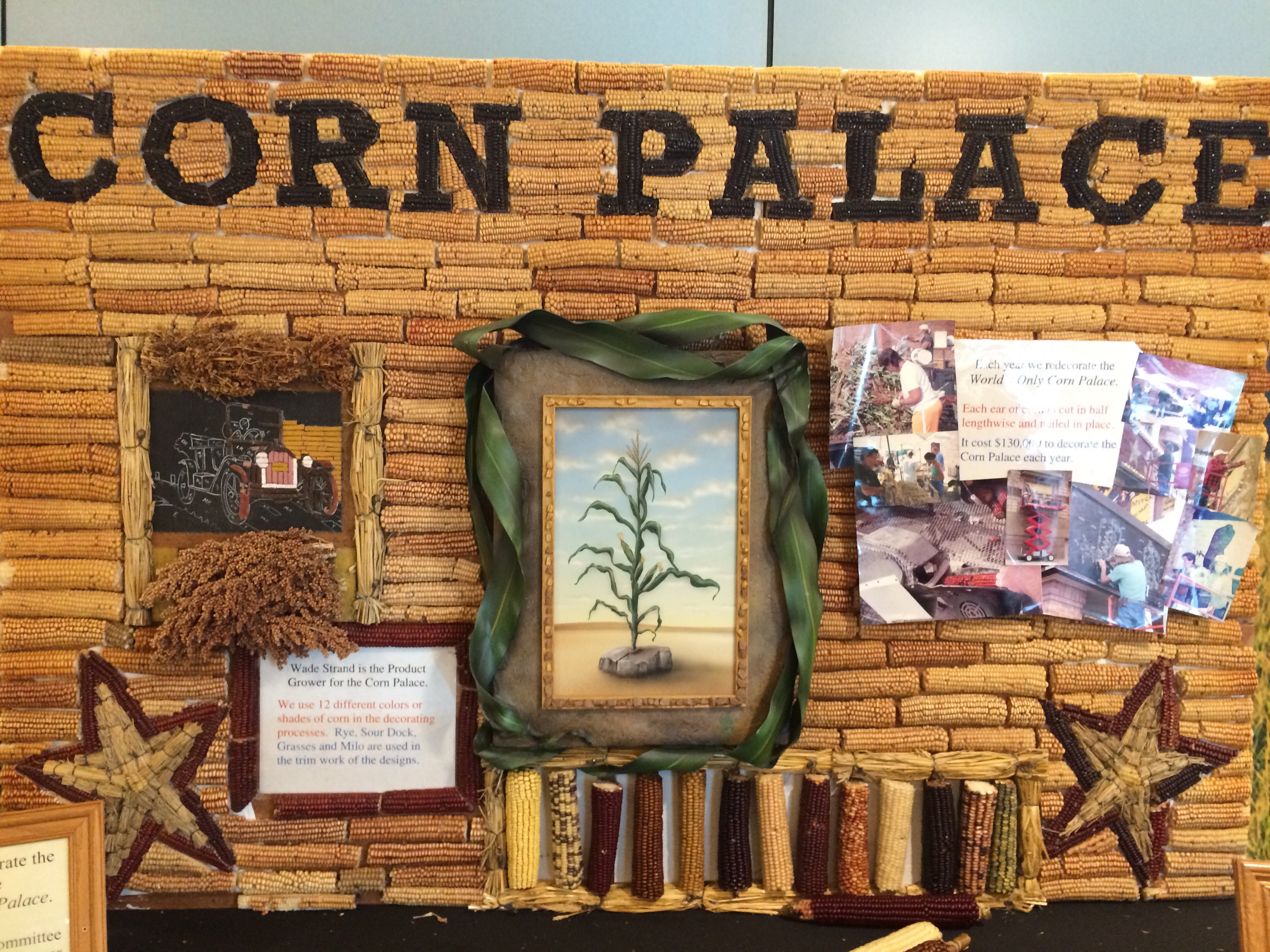
The Corn Palace is clad entirely in corn and is replaced every year with a different theme.
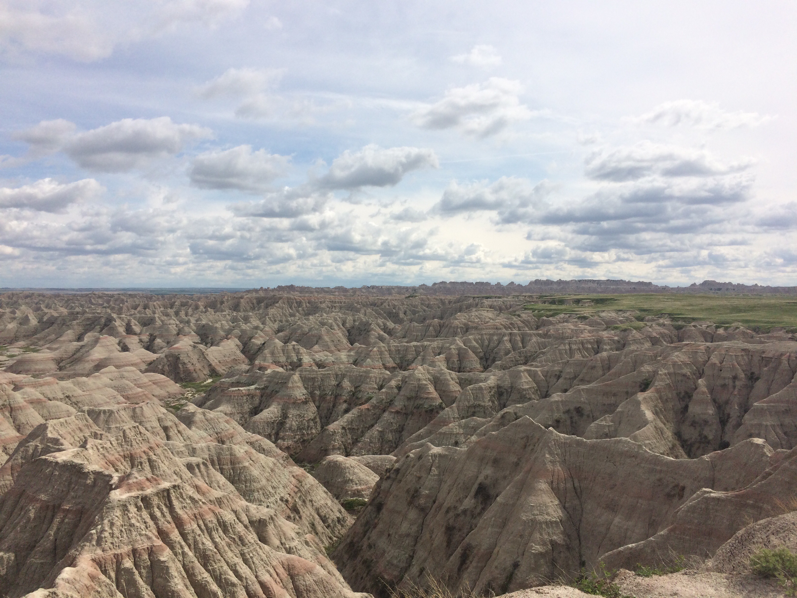
In the afternoon we arrived in the Badlands National Park. I’d heard of it before but wasn’t sure what to expect. It was absolutely spectacular. The scenery on the way was kinda barren. It was pretty flat with few trees, and then suddenly you’re met by these stone structures which look like they belong on the moon.
We walked on some short trails before heading to the campground. We had a BBQ dinner with some awesome steak that JD had marinating overnight.
We were staying in cabins, and it was absolutely freezing. I can’t tell you how glad I am to be not camping!
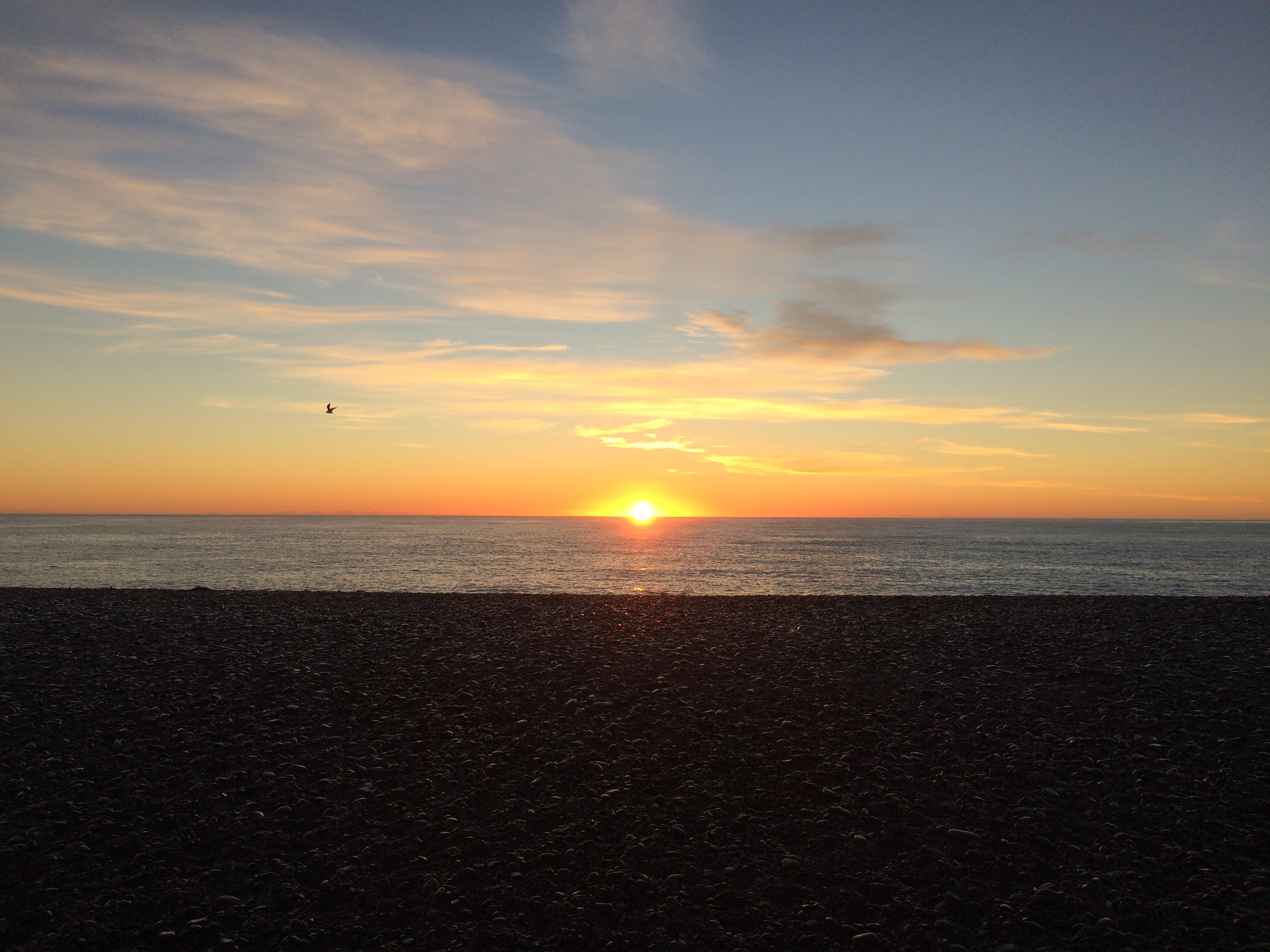
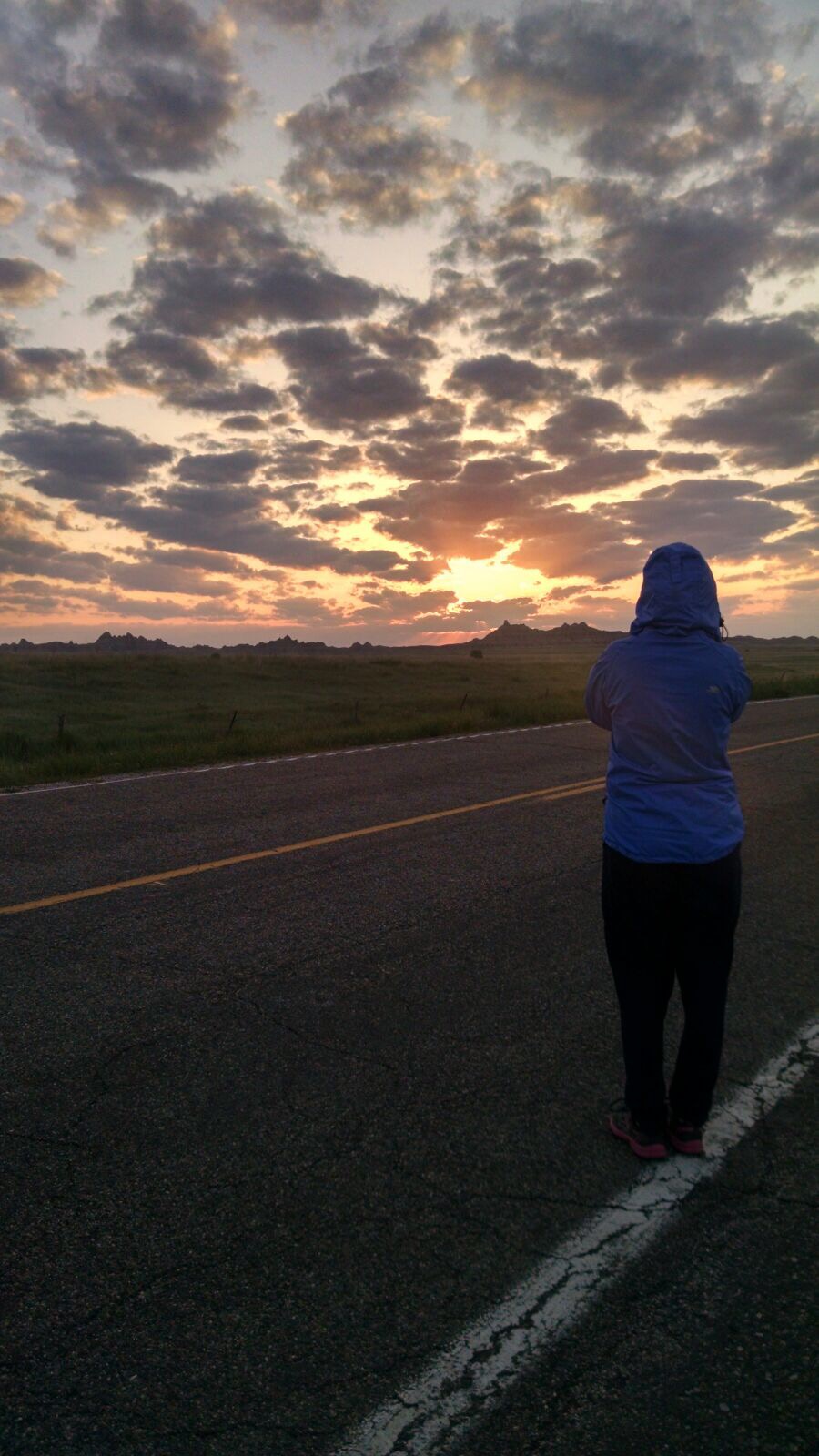
The next day some of us got up before 5am to watch the sunrise. It was a little cloudy but it was still spectacular. Sometimes having clouds there adds to the view.
After we watched the sunrise we went back to bed for a couple of hours.
We left at about 9am and went to the visitor centre. We saw some bighorn sheep squaring up to each other which was pretty cool.
We also stopped off at the Minuteman Missile Silo, also in South Dakota, where some of the USA’s nuclear missiles are. It was pretty interesting to read about how the US built up their nuclear arsenal, and about the MAD tactic with Russia – mutually assured destruction.
We stopped for lunch at a place called Wall Drug. This place is truly an example of the ‘if we build it they will come’ principle. It had been advertised along the I-90 for over 300 miles. We are definitely in cowboy country, there were saloons and gun stores and lots of taxidermy.
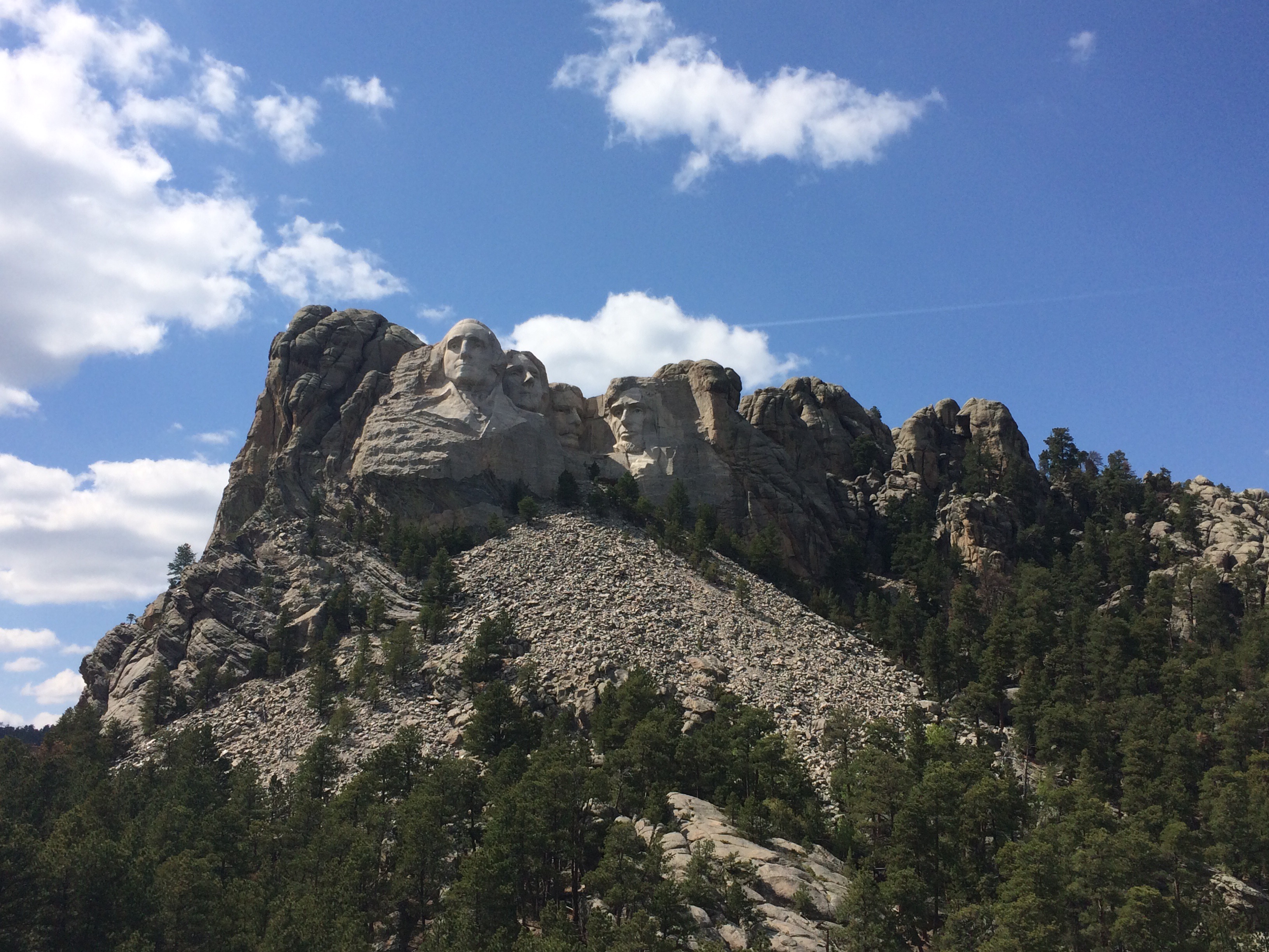
After lunch we headed to Mount Rushmore, which was spectacular. It was as big and impressive as I had imagined, but there was also a rather beautiful forested walk close to the base of it.
We also went to visit the nearby Crazy Horse Memorial. This is the Native American version of Mt Rushmore, but is not yet complete. They are relying on donations for funding rather than government handouts, and so it is likely to be 10s of years before it is complete (it’s already been almost 70 years since work started).
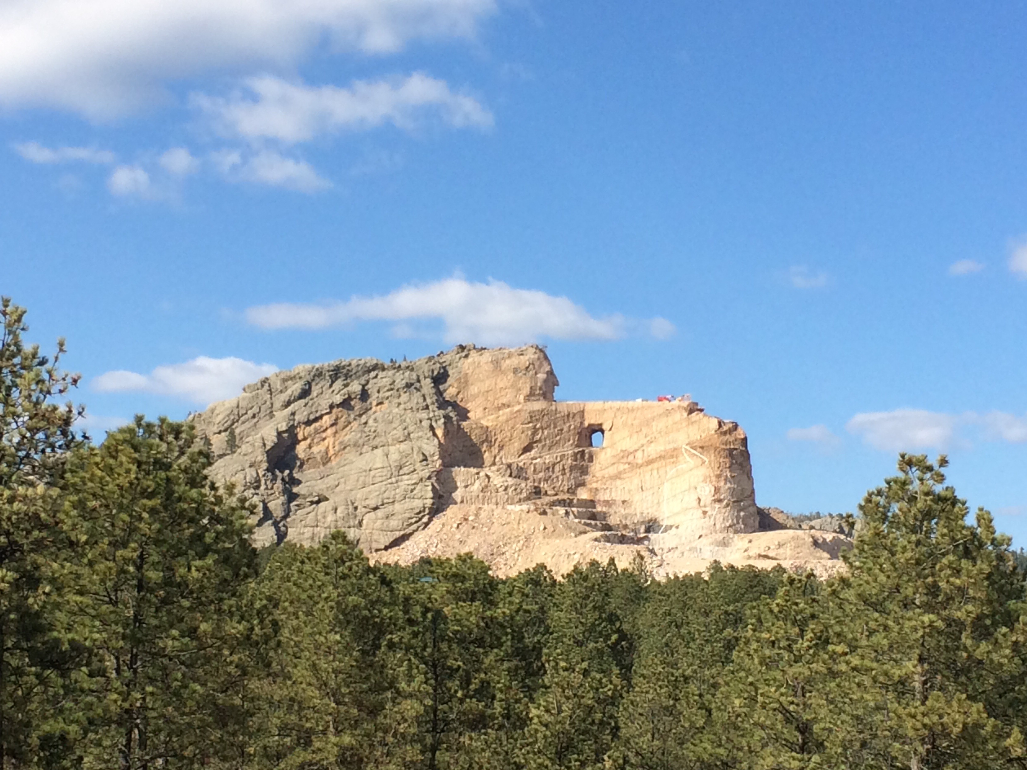
I can’t help but feel that this is indicative of the relationship between indigenous people and white people all over the world. There have been many times while I’ve been away that I’ve felt guilty as a white British person over how we treated indigenous populations.
We then headed to our overnight stop in Deadwood, South Dakota. Deadwood is where Wild Bill was shot dead. Another cowboy town. The group split for dinner, with myself, Liz and JD eating a really nice dinner at Saloon 10. We all then met up for a few drinks.
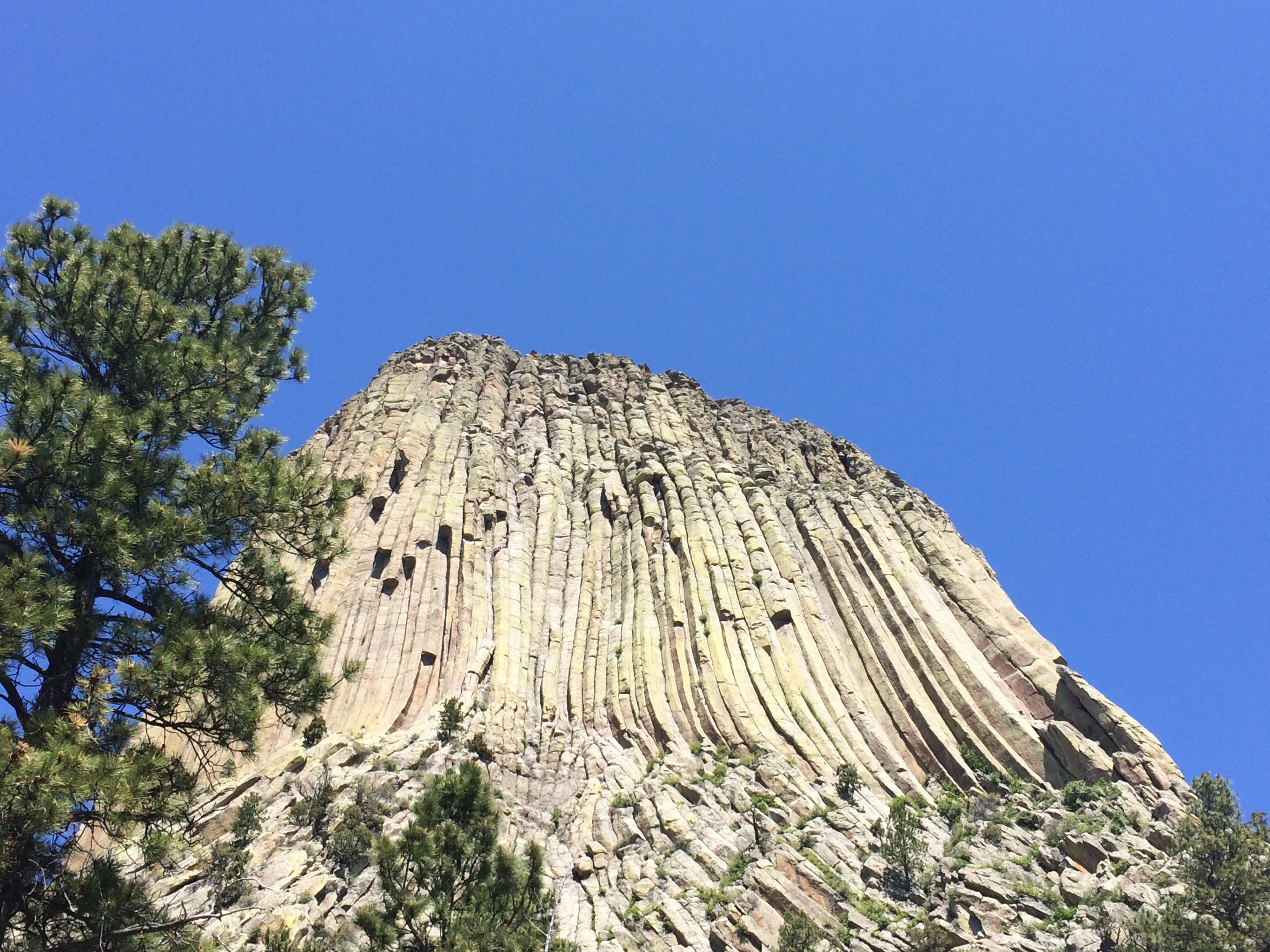
The next day we left at 10am and drove out to Devil’s Tower National Monument. This was not on the original itinerary but it was close by and we all chipped in a dollar for the entrance fee. Devil’s Tower is the core of an extinct volcano, and has distinctive geometric towers, very similar to Devil’s Postpile National Monument which I’ve previously seen in California.
We had a nice walk around the base of the core, and then headed for Cody, Wyoming which was a good 5 hours drive away. Unfortunately we had a little incident where we ran out of gas 1.5 miles short of the gas station. JD tried to flag down a vehicle to take him to the gas station. A jackass in a suit in a pickup stopped, and then drove straight off. A lady in a pickup eventually agreed to take JD as long as he had a girl with him. I was the chosen one and we headed to the gas station for a Jerry can. The gas station manager gave JD a lift back to the van while I grabbed lunch at Subway and waited for the van to come and pick me up.
After that little interlude (which was actually kinda fun, and only lasted about 20 minutes. JD handled it so much better than Bee did when we ran out of fuel in Australia on Australia Day) we carried on driving across Wyoming.
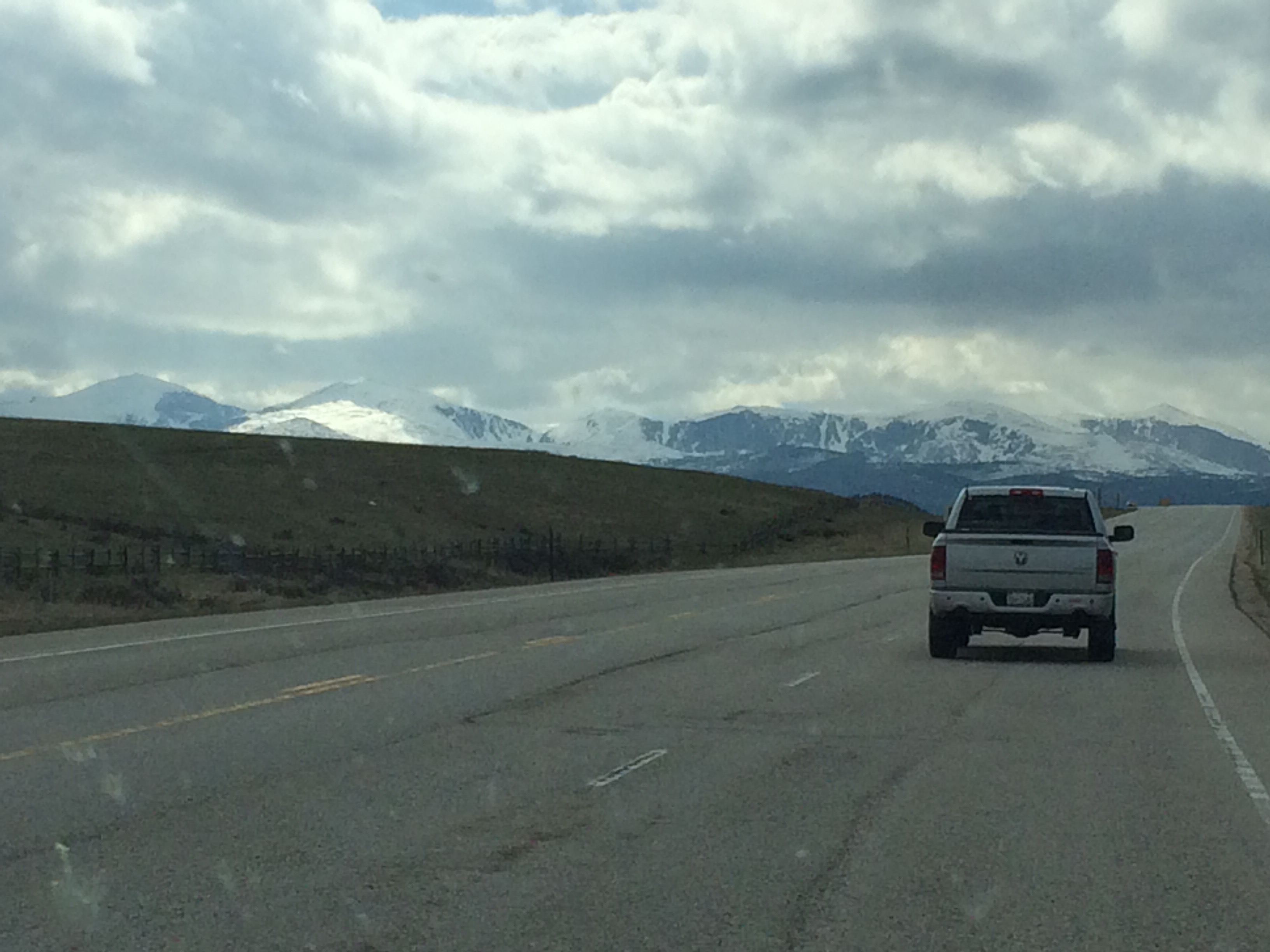
One of the things I was interested in seeing in the States was what was in the middle. I had no idea what to expect but it certainly wasn’t anything like what we saw. The scenery was absolutely stunning. For a while it was quite flat, but as we headed west it got more interesting. The rock started to turn red (it reminded me of Australia), and then we started to see the mountains.
They looked amazing, and still had a lot of snow on them. These were the Big Horn mountains. We took the southern pass across the mountain up to 9,666ft and had a snowball fight at the top!
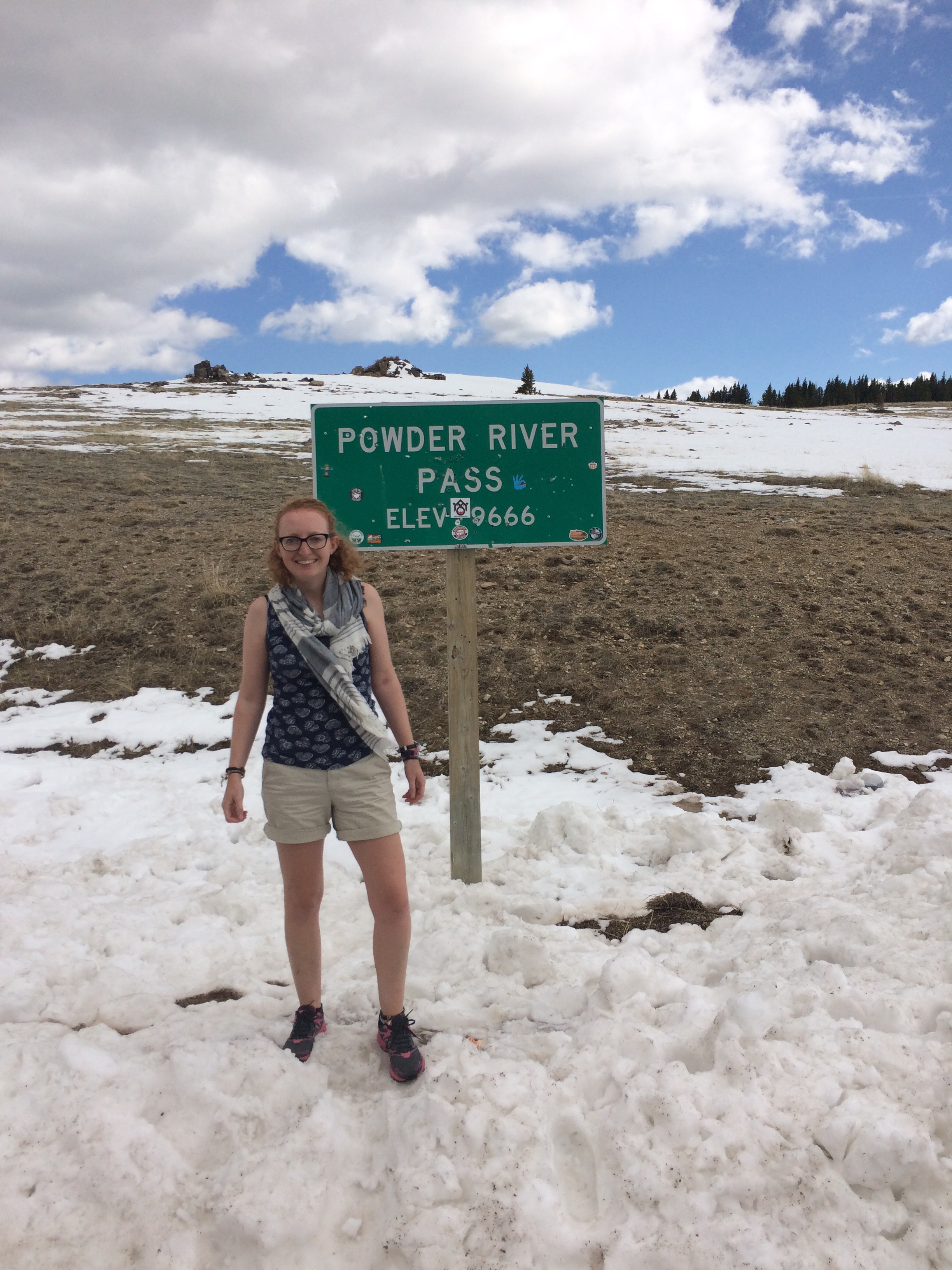
The shorts aren’t as stupid as they look – it was 21C at lower altitudes.
We ended the day in Cody, Wyoming. Next stop – Yellowstone!